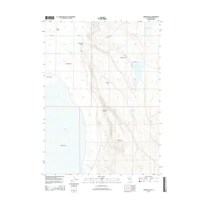
2015 Map of Larkspur Hills
USGS Topo · Published 2015About this map
Surprise Valley defines the western edge of this Modoc County landscape, where the basin floor meets the rising elevations of the Larkspur Hills. This high-desert terrain is marked by a complex hydrological network of ephemeral and perennial water sources, including the expansive Upper Lake and smaller catchments like Big Mud Lake and Little Mud Lake. The importance of water management in this arid region is visible through the Fee Reservoir and the naming of local landmarks such as Conlan Spring and Poison Springs.
Find a feature on this map
22 named features on this map. Tap any name to fly to it.
Don’t see what you’re looking for? This feature index may not catch every label — zoom into the map to look around manually.
Map Details
Editions of this 2015 Larkspur Hills Map
This is the sole edition of this map. No revisions or reprints were ever made.
Other maps of this area

1886 · Alturas
USGS Topo · 1:250,000

1889 · Long Valley
USGS Topo · 1:250,000

1892 · Alturas
USGS Topo · 1:250,000

1954 · Vya
USGS Topo · 1:250,000

1954 · Alturas
USGS Topo · 1:250,000

1958 · Alturas
USGS Topo · 1:250,000

1958 · Vya
USGS Topo · 1:250,000

1962 · Alturas
USGS Topo · 1:250,000

1962 · Vya
USGS Topo · 1:250,000

1962 · Cedarville
USGS Topo · 1:62,500