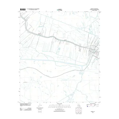
2012 Map of Larose
USGS Topo · Published 2012About this map
Bayou Lafourche serves as the primary artery for settlement and industry in this portion of the Louisiana wetlands. The long-lot property patterns common to the region are visible as they extend from the bayou's banks, particularly near Valentine and Ludevine. These narrow strips of land facilitated access to the water for transport while allowing for agricultural development in the fertile alluvial soil.
Find a feature on this map
84 named features on this map. Tap any name to fly to it.
Don’t see what you’re looking for? This feature index may not catch every label — zoom into the map to look around manually.
Map Details
Editions of this 2012 Larose Map
This is the sole edition of this map. No revisions or reprints were ever made.
Other maps of this area

1892 · Cut-Off
USGS Topo · 1:62,500

1892 · Houma
USGS Topo · 1:62,500

1894 · Lake Felicity
USGS Topo · 1:62,500

1894 · Dulac
USGS Topo · 1:62,500

1932 · Houma SE
USGS Topo · 1:31,680

1932 · Houma NE
USGS Topo · 1:31,680

1935 · Viguerie Canal
USGS Topo · 1:31,680

1935 · Montegut
USGS Topo · 1:31,680

1935 · Golden Meadow
USGS Topo · 1:31,680

1939 · Cut-Off
USGS Topo · 1:62,500