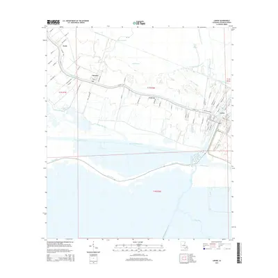
2015 Map of Larose
USGS Topo · Published 2015About this map
Larose and Valentine anchor this 2015 study of the Louisiana wetlands, where the ancient winding course of Bayou Lafourche meets the modern engineering of the Intracoastal Waterway. The settlement patterns here follow the traditional long-lot ribbon development typical of the region, evidenced by roads like Edna Plantation Rd and Allan Ranch Rd which stretch back from the water into the marsh. Between the established communities of Ludevine and Jay, the landscape is a complex network of drainage and navigation channels, including the Forty Arpent Canal, Canal Tisamond Foret, and the sprawling waters of Bayou Blue. This map documents the persistent tension between dry-land habitation and the encroaching aquatic environment of Bayou L'Eau Bleu, capturing a moment in the modern evolution of these historic Acadian corridors.
Find a feature on this map
75 named features on this map. Tap any name to fly to it.
Don’t see what you’re looking for? This feature index may not catch every label — zoom into the map to look around manually.
Map Details
Editions of this 2015 Larose Map
This is the sole edition of this map. No revisions or reprints were ever made.
Other maps of this area

1892 · Cut-Off
USGS Topo · 1:62,500

1892 · Houma
USGS Topo · 1:62,500

1894 · Lake Felicity
USGS Topo · 1:62,500

1894 · Dulac
USGS Topo · 1:62,500

1932 · Houma SE
USGS Topo · 1:31,680

1932 · Houma NE
USGS Topo · 1:31,680

1935 · Viguerie Canal
USGS Topo · 1:31,680

1935 · Montegut
USGS Topo · 1:31,680

1935 · Golden Meadow
USGS Topo · 1:31,680

1939 · Cut-Off
USGS Topo · 1:62,500