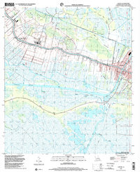
1998 Map of Larose
USGS Topo · Published 2002About this map
Bayou Lafourche serves as the primary artery for settlement and commerce in this deltaic landscape, with the town of Larose marking a significant junction where the river meets the Intracoastal Waterway. The settlement pattern follows the high ground along the natural levees, featuring established communities such as Valentine, Ludevine, and Norah. Genealogical interest is found at the Griffin Cem and the Seventh District Sch, which serve the local residents living among the complex network of artificial and natural channels like the Forty Arpent Canal and Portuguese Bayou. The surrounding marshlands are defined by extensive petroleum exploration, evidenced by numerous Oil Wells and Drill Holes, while the southern reaches transition into the protected habitat of the Pointe Aux Chenes State Wildlife Management Area.
Find a feature on this map
33 named features on this map. Tap any name to fly to it.
Don’t see what you’re looking for? This feature index may not catch every label — zoom into the map to look around manually.
Map Details
Editions of this 1998 Larose Map
This is the sole edition of this map. No revisions or reprints were ever made.
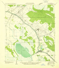
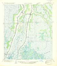
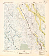
Other maps of this area

1892 · Cut-Off
USGS Topo · 1:62,500

1892 · Houma
USGS Topo · 1:62,500

1894 · Lake Felicity
USGS Topo · 1:62,500

1894 · Dulac
USGS Topo · 1:62,500

1932 · Houma SE
USGS Topo · 1:31,680
1932 · Houma NE
USGS Topo · 1:31,680

1935 · Viguerie Canal
USGS Topo · 1:31,680
1935 · Montegut
USGS Topo · 1:31,680
1935 · Golden Meadow
USGS Topo · 1:31,680

1939 · Cut-Off
USGS Topo · 1:62,500