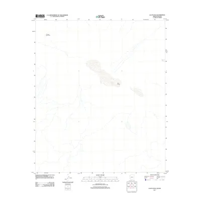
2011 Map of Las Playas
USGS Topo · Published 2011About this map
Las Playas occupies the central focus of this arid landscape, where ephemeral water patterns define the geography of the borderlands. The presence of the Pinacate Lava Flow in the northwest corner signals the volcanic origins and geological complexity of this desert environment, marking a distinct transition in terrain. Drainage patterns are dominated by the Papago Wash, which meanders across the eastern portion of the quadrangle. This 2011 survey, produced by the U.S. Geological Survey, captures the stark hydrography of the region during a period when modern digital mapping standards were being applied to some of the most remote stretches of the international boundary. The map serves as a precise record of seasonal water bodies and geological boundaries that have influenced travel and subsistence in this desert corridor for generations.
Find a feature on this map
3 named features on this map. Tap any name to fly to it.
Don’t see what you’re looking for? This feature index may not catch every label — zoom into the map to look around manually.
Map Details
Editions of this 2011 Las Playas Map
This is the sole edition of this map. No revisions or reprints were ever made.
Other maps of this area

1953 · Ajo
USGS Topo · 1:250,000

1954 · Sonoyta
USGS Topo · 1:250,000

1957 · Ajo
USGS Topo · 1:250,000

1958 · Ajo
USGS Topo · 1:250,000

1962 · Ajo
USGS Topo · 1:250,000

1963 · Ajo
USGS Topo · 1:250,000

1963 · Lukeville
USGS Topo · 1:250,000

1965 · O'Neill Hills
USGS Topo · 1:62,500

1965 · Sierra Arida
USGS Topo · 1:62,500

1967 · Ajo
USGS Topo · 1:250,000