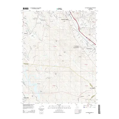
2015 Map of Las Trampas Ridge
USGS Topo · Published 2015About this map
Rocky Ridge and Las Trampas Ridge dominate this East Bay landscape, carving a series of steep canyons and valleys between the developing suburbs of the early 21st century. The map illustrates the interface between dense residential expansion and protected open space, featuring the Eugene O'Neil National Historical Site and the academic grounds of Saint Marys Coll of California. Major water infrastructure is prominent in the southwest, where the San Leandro Tunnel connects to the Upper San Leandro Reservoir, reflecting the region's managed hydrography. The corridor of Interstate 680 serves as the primary artery connecting the communities of Walnut Creek, Alamo, and Danville, while numerous smaller creeks like San Ramon Cr and Bollinger Canyon Cr trace the natural drainage patterns of the Diablo Range foothills.
Find a feature on this map
54 named features on this map. Tap any name to fly to it.
Don’t see what you’re looking for? This feature index may not catch every label — zoom into the map to look around manually.
Map Details
Editions of this 2015 Las Trampas Ridge Map
This is the sole edition of this map. No revisions or reprints were ever made.
Other maps of this area

1896 · Mt. Diablo
USGS Topo · 1:62,500

1897 · Concord
USGS Topo · 1:62,500

1898 · Mt. Diablo
USGS Topo · 1:62,500

1899 · Haywards
USGS Topo · 1:62,500

1906 · Pleasanton
USGS Topo · 1:62,500

1915 · Haywards
USGS Topo · 1:62,500

1915 · Concord
USGS Topo · 1:62,500

1941 · Pleasanton
USGS Topo · 1:62,500

1942 · Concord
USGS Topo · 1:62,500

1942 · Hayward
USGS Topo · 1:62,500