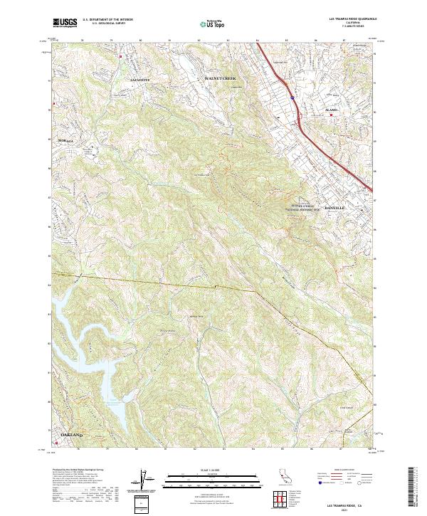
2021 Map of Las Trampas Ridge
USGS Topo · Published 2021About this map
Lafayette and Walnut Creek anchor the northern reaches of this topographic study, where suburban expansion meets the sharp relief of the Diablo Range. The landscape is dominated by the massive northwest-southeast spine of Las Trampas Ridge and Rocky Ridge, creating a natural barrier between the developed corridors of the Stone Valley and the secluded Bollinger Canyon. These ridges are crisscrossed by a complex network of paths, including the Las Trampas Ridge Trail - North Trl and the Madrone Trl, reflecting the area's transition into protected open space.
Find a feature on this map
48 named features on this map. Tap any name to fly to it.
Don’t see what you’re looking for? This feature index may not catch every label — zoom into the map to look around manually.
Map Details
Editions of this 2021 Las Trampas Ridge Map
This is the sole edition of this map. No revisions or reprints were ever made.
Other maps of this area

1896 · Mt. Diablo
USGS Topo · 1:62,500

1897 · Concord
USGS Topo · 1:62,500

1898 · Mt. Diablo
USGS Topo · 1:62,500

1899 · Haywards
USGS Topo · 1:62,500

1906 · Pleasanton
USGS Topo · 1:62,500

1915 · Haywards
USGS Topo · 1:62,500

1915 · Concord
USGS Topo · 1:62,500

1941 · Pleasanton
USGS Topo · 1:62,500

1942 · Concord
USGS Topo · 1:62,500

1942 · Hayward
USGS Topo · 1:62,500