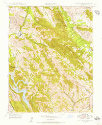
1947 Map of Las Trampas Ridge
USGS Topo · Published 1956About this map
St Marys College and the winding course of the Southern Pacific railroad anchor this mid-century survey of the hills and canyons between the San Ramon Valley and the East Bay. The landscape is defined by the sharp elevations of Las Trampas Ridge and Rocky Ridge, which separate the burgeoning small towns of Alamo and Danville from the protected waters of the Upper San Leandro Reservoir.
Find a feature on this map
44 named features on this map. Tap any name to fly to it.
Don’t see what you’re looking for? This feature index may not catch every label — zoom into the map to look around manually.
Map Details
Editions of this 1947 Las Trampas Ridge Map
This is the sole edition of this map. No revisions or reprints were ever made.
Other maps of this area

1896 · Mt. Diablo
USGS Topo · 1:62,500

1897 · Concord
USGS Topo · 1:62,500

1898 · Mt. Diablo
USGS Topo · 1:62,500

1899 · Haywards
USGS Topo · 1:62,500

1906 · Pleasanton
USGS Topo · 1:62,500

1915 · Haywards
USGS Topo · 1:62,500

1915 · Concord
USGS Topo · 1:62,500

1941 · Pleasanton
USGS Topo · 1:62,500

1942 · Concord
USGS Topo · 1:62,500

1942 · Hayward
USGS Topo · 1:62,500