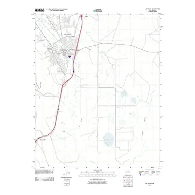
2010 Map of Las Vegas
USGS Topo · Published 2010About this map
Las Vegas serves as a significant high-plains hub where the urban grid meets the winding course of Gallinas Creek. The map documents a dense collection of historic burial grounds concentrated southwest of the city center, including the Mount Calvary Cemetery, Masonic Cemetery, and Montafiore Cemetery, providing a valuable footprint for genealogical research in San Miguel County. The campus of New Mexico Highlands University stands as a central landmark within the city, while the surrounding landscape transitions into the open terrain of Pagosa and the restrictive geography of Box Canyon.
Find a feature on this map
46 named features on this map. Tap any name to fly to it.
Don’t see what you’re looking for? This feature index may not catch every label — zoom into the map to look around manually.
Map Details
Editions of this 2010 Las Vegas Map
This is the sole edition of this map. No revisions or reprints were ever made.
Other maps of this area

1889 · Las Vegas
USGS Topo · 1:125,000

1890 · Bernal
USGS Topo · 1:125,000

1891 · Bernal
USGS Topo · 1:125,000

1891 · Las Vegas
USGS Topo · 1:125,000

1893 · Las Vegas
USGS Topo · 1:125,000

1894 · Bernal
USGS Topo · 1:125,000

1954 · Santa Fe
USGS Topo · 1:250,000

1958 · Santa Fe
USGS Topo · 1:250,000

1960 · Villanueva
USGS Topo · 1:62,500

1960 · Apache Springs
USGS Topo · 1:62,500