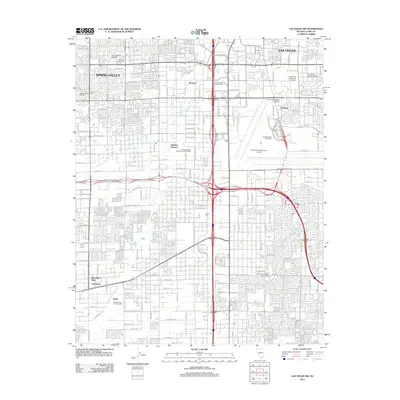
2012 Map of Las Vegas SW
USGS Topo · Published 2012About this map
McCarran International Airport and the sprawling campus of the University of Nevada-Las Vegas dominate the eastern landscape of this early 21st-century survey. The map reveals the intricate residential expansion of Paradise and Spring Valley, showing the dense suburban grid encroaching on natural features like Tropicana Wash. Notable landmarks of the gaming and recreation industry, such as the MGM Grand and the Stardust International Raceway, appear alongside vital municipal infrastructure like the Las Vegas Water Pollution Control Facility.
Find a feature on this map
118 named features on this map. Tap any name to fly to it.
Don’t see what you’re looking for? This feature index may not catch every label — zoom into the map to look around manually.
Map Details
Editions of this 2012 Las Vegas SW Map
This is the sole edition of this map. No revisions or reprints were ever made.
Other maps of this area

1907 · Las Vegas
USGS Topo · 1:250,000

1908 · Las Vegas
USGS Topo · 1:250,000

1910 · Ivanpah
USGS Topo · 1:250,000

1912 · Ivanpah
USGS Topo · 1:250,000

1942 · Ivanpah
USGS Topo · 1:250,000

1947 · Kingman
USGS Topo · 1:250,000

1948 · Kingman
USGS Topo · 1:250,000

1952 · Blue Diamond
USGS Topo · 1:62,500

1952 · Las Vegas
USGS Topo · 1:62,500

1954 · Las Vegas
USGS Topo · 1:250,000