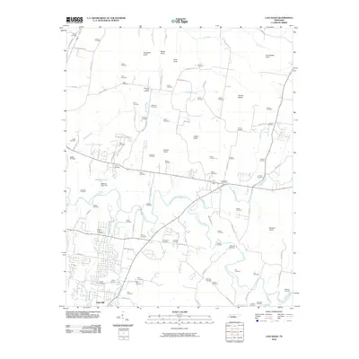
2010 Map of Lascassas
USGS Topo · Published 2010About this map
The East Fork Stones River carves a winding path through this Rutherford County landscape, defining the rural character of the region. Near the river's bends, the community of Oak Hill sits at the southern edge of the quadrangle, while the Lascassas Post Office serves as a central hub for the surrounding countryside. This area is heavily defined by family-named topography and early infrastructure, including the Walter Hill Dam and Browns Mill Dam, which speak to the water-powered history of the local economy.
Find a feature on this map
107 named features on this map. Tap any name to fly to it.
Don’t see what you’re looking for? This feature index may not catch every label — zoom into the map to look around manually.
Map Details
Editions of this 2010 Lascassas Map
This is the sole edition of this map. No revisions or reprints were ever made.
Other maps of this area

1908 · Woodbury
USGS Topo · 1:62,500

1916 · Murfreesboro
USGS Topo · 1:62,500

1942 · Statesville
USGS Topo · 1:100,000

1942 · Lebanon
USGS Topo · 1:100,000

1950 · Walterhill
USGS Topo · 1:24,000

1950 · Murfreesboro
USGS Topo · 1:24,000

1956 · Vine
USGS Topo · 1:24,000

1956 · Dillton
USGS Topo · 1:24,000

1956 · Gladeville
USGS Topo · 1:24,000

1956 · Columbia
USGS Topo · 1:250,000