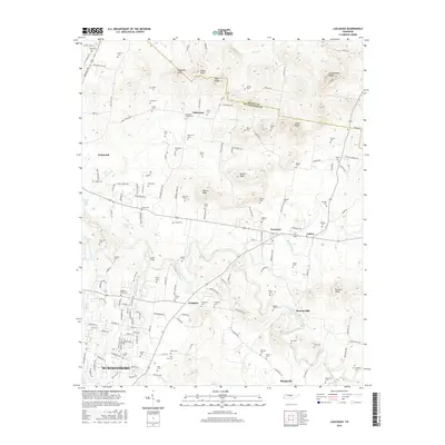
2016 Map of Lascassas
USGS Topo · Published 2016About this map
The East Fork Stones River carves a winding path through this portion of Rutherford County, sustaining a landscape defined by small crossroads communities and family legacies. Scattered between Lascassas and Walterhill, numerous family burial grounds like Dement Cem and Rucker-Pitts Cem suggest generations of deep-rooted land ownership. The terrain is marked by prominent elevations such as Grandfather Knob and Halls Knob, which rise above the river valley and its tributaries like Bradley Creek and Jarman Br.
Find a feature on this map
161 named features on this map. Tap any name to fly to it.
Don’t see what you’re looking for? This feature index may not catch every label — zoom into the map to look around manually.
Map Details
Editions of this 2016 Lascassas Map
This is the sole edition of this map. No revisions or reprints were ever made.
Other maps of this area

1908 · Woodbury
USGS Topo · 1:62,500

1916 · Murfreesboro
USGS Topo · 1:62,500

1942 · Statesville
USGS Topo · 1:100,000

1942 · Lebanon
USGS Topo · 1:100,000

1950 · Walterhill
USGS Topo · 1:24,000

1950 · Murfreesboro
USGS Topo · 1:24,000

1956 · Vine
USGS Topo · 1:24,000

1956 · Dillton
USGS Topo · 1:24,000

1956 · Gladeville
USGS Topo · 1:24,000

1956 · Columbia
USGS Topo · 1:250,000