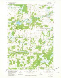
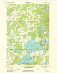
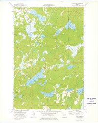
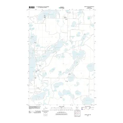
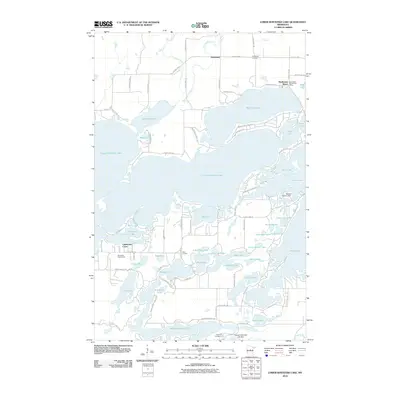
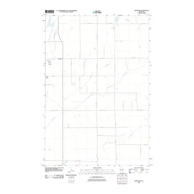
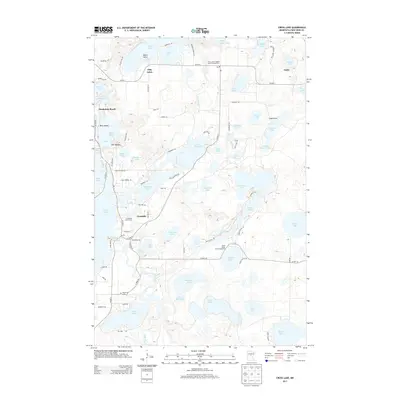
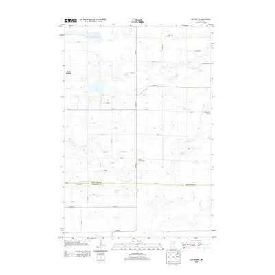
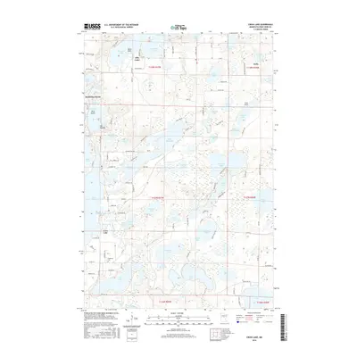
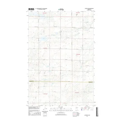
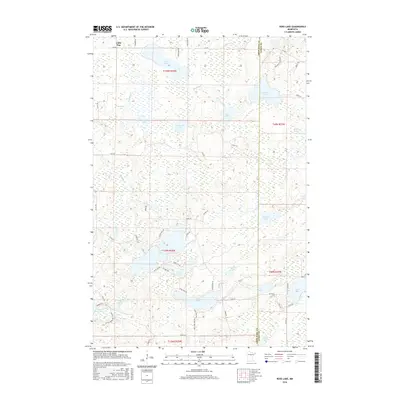
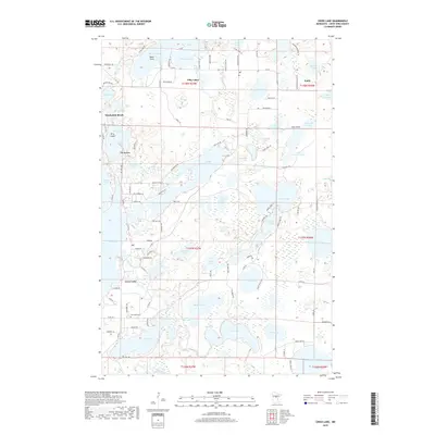
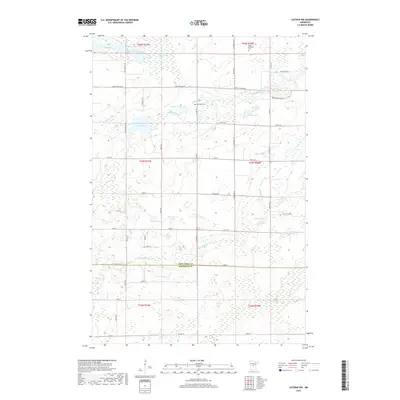
1981 Map of Lastrup NW
USGS Topo · Published 1982About this map
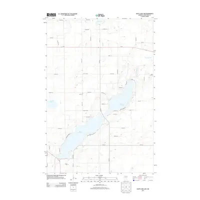
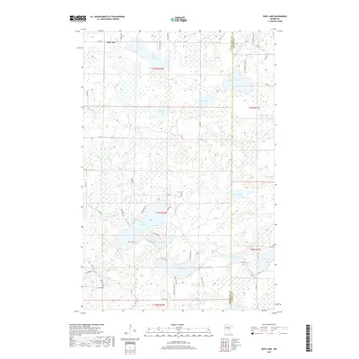
St Mathias and Daggett Brook define the central character of this Crow Wing County landscape, where small rural settlements are interconnected by a dense network of timber and wetlands. The Nokasippi River and its tributary, the Little Nokasippi River, meander through the terrain, feeding numerous named water bodies including Round Lake, Fuchs Lake, and Lodemier Lake. These waterways served as the foundational infrastructure for early development in the townships of Ripley and Platte.
Find a feature on this map
27 named features on this map. Tap any name to fly to it.
Don’t see what you’re looking for? This feature index may not catch every label — zoom into the map to look around manually.
Map Details
Editions of this 1981 Lastrup NW Map
This is the sole edition of this map. No revisions or reprints were ever made.
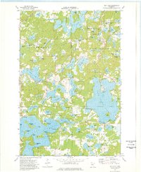
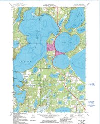
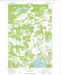
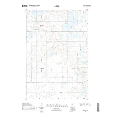
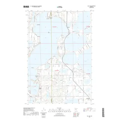
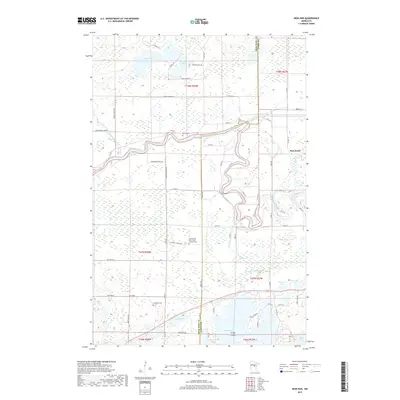
Historical Maps of Morrison County Through Time
72 maps found
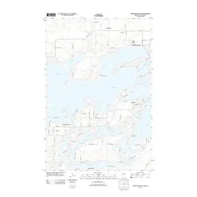
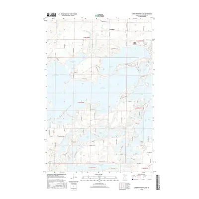
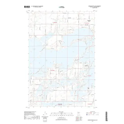
1959 Lower Whitefish Lake
Crow Wing County, MN
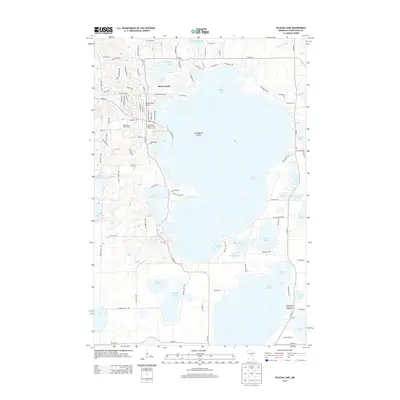
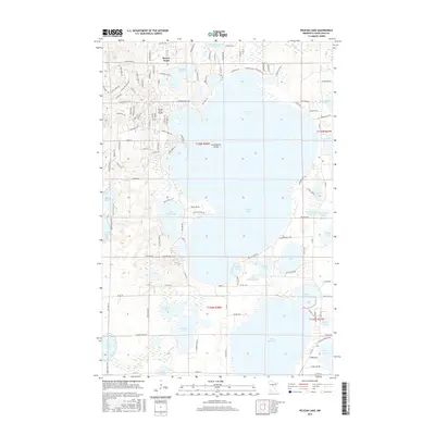
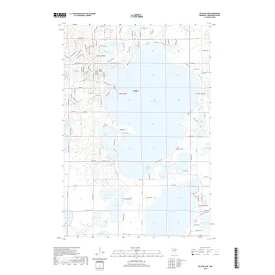
1959 Pelican Lake
Crow Wing County, MN
1960 Cross Lake
Crow Wing County, MN
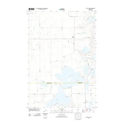
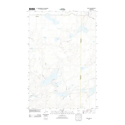
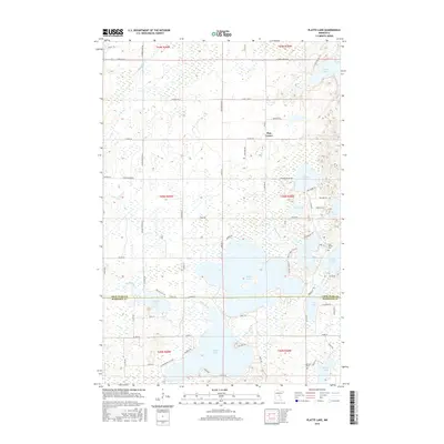
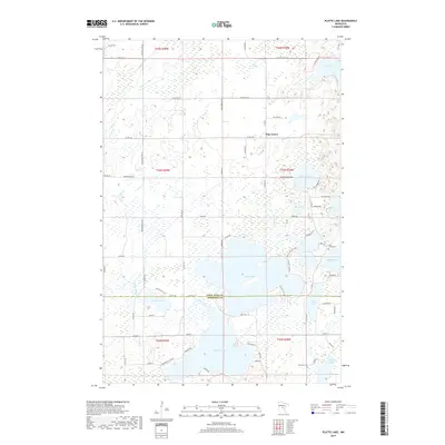
1968 Platte Lake
Crow Wing County, MN
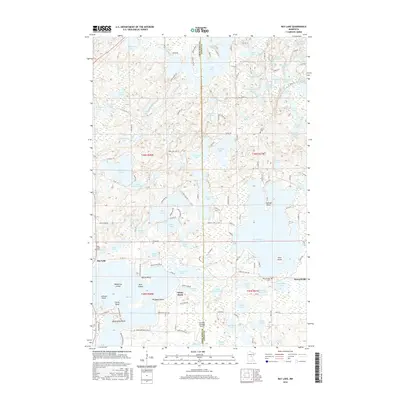
1973 Bay Lake
Crow Wing County, MN

1973 Grave Lake
Crow Wing County, MN
1973 Gull Lake
Crow Wing County, MN
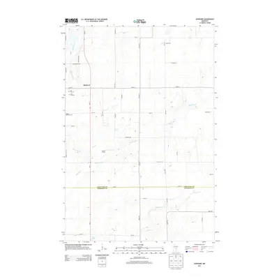
1973 Iron Hub
Crow Wing County, MN
1973 Ross Lake
Crow Wing County, MN
1973 South Long Lake
Crow Wing County, MN
1981 Lastrup NW
Crow Wing County, MN
1981 Shephard
Crow Wing County, MN
2010 Bay Lake
Crow Wing County, MN
2010 Cross Lake
Crow Wing County, MN
2010 Grave Lake
Crow Wing County, MN
2010 Iron Hub
Crow Wing County, MN
2010 Lastrup NW
Crow Wing County, MN
2010 Lower Whitefish Lake
Crow Wing County, MN
2010 Pelican Lake
Crow Wing County, MN
2010 Platte Lake
Crow Wing County, MN
2010 Ross Lake
Crow Wing County, MN
2010 Shephard
Crow Wing County, MN
2010 South Long Lake
Crow Wing County, MN
2011 Gull Lake
Crow Wing County, MN
2013 Bay Lake
Crow Wing County, MN
2013 Cross Lake
Crow Wing County, MN
2013 Grave Lake
Crow Wing County, MN
2013 Gull Lake
Crow Wing County, MN
2013 Iron Hub
Crow Wing County, MN
2013 Lastrup NW
Crow Wing County, MN
2013 Lower Whitefish Lake
Crow Wing County, MN
2013 Pelican Lake
Crow Wing County, MN
2013 Platte Lake
Crow Wing County, MN
2013 Ross Lake
Crow Wing County, MN
2013 Shephard
Crow Wing County, MN
2013 South Long Lake
Crow Wing County, MN
2016 Bay Lake
Crow Wing County, MN
2016 Cross Lake
Crow Wing County, MN
2016 Grave Lake
Crow Wing County, MN
2016 Gull Lake
Crow Wing County, MN
2016 Iron Hub
Crow Wing County, MN
2016 Lastrup NW
Crow Wing County, MN
2016 Lower Whitefish Lake
Crow Wing County, MN
2016 Pelican Lake
Crow Wing County, MN
2016 Platte Lake
Crow Wing County, MN
2016 Ross Lake
Crow Wing County, MN
2016 Shephard
Crow Wing County, MN
2016 South Long Lake
Crow Wing County, MN
2019 Bay Lake
Crow Wing County, MN
2019 Cross Lake
Crow Wing County, MN
2019 Grave Lake
Crow Wing County, MN
2019 Gull Lake
Crow Wing County, MN
2019 Iron Hub
Crow Wing County, MN
2019 Lastrup NW
Crow Wing County, MN
2019 Lower Whitefish Lake
Crow Wing County, MN
2019 Pelican Lake
Crow Wing County, MN
2019 Platte Lake
Crow Wing County, MN
2019 Ross Lake
Crow Wing County, MN
2019 Shephard
Crow Wing County, MN
2019 South Long Lake
Crow Wing County, MN
2022 Bay Lake
Crow Wing County, MN
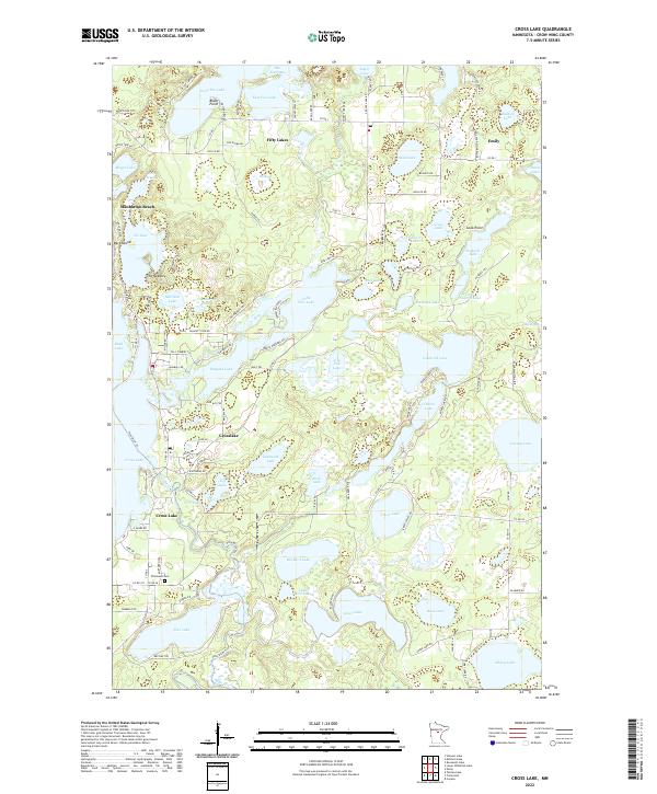
2022 Cross Lake
Crow Wing County, MN
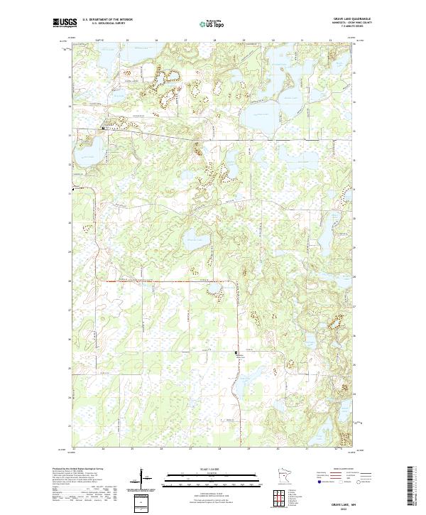
2022 Grave Lake
Crow Wing County, MN
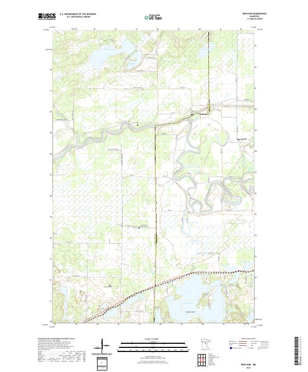
2022 Iron Hub
Crow Wing County, MN
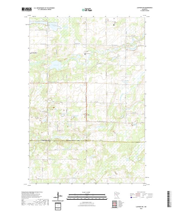
2022 Lastrup NW
Crow Wing County, MN
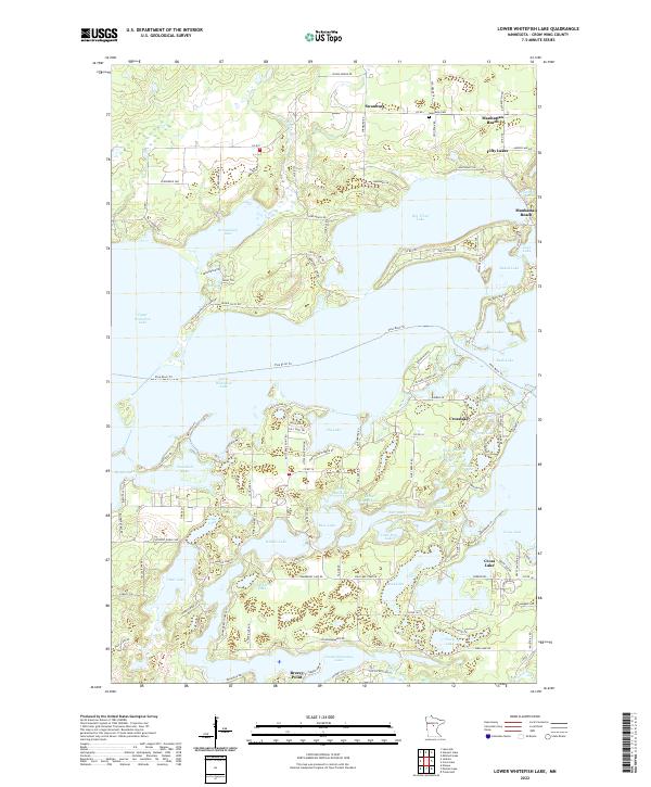
2022 Lower Whitefish Lake
Crow Wing County, MN
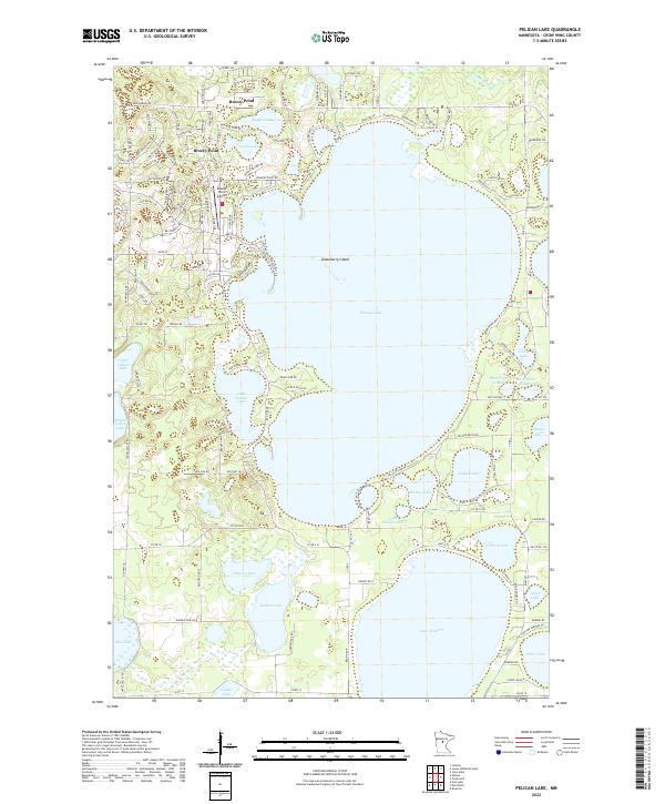
2022 Pelican Lake
Crow Wing County, MN
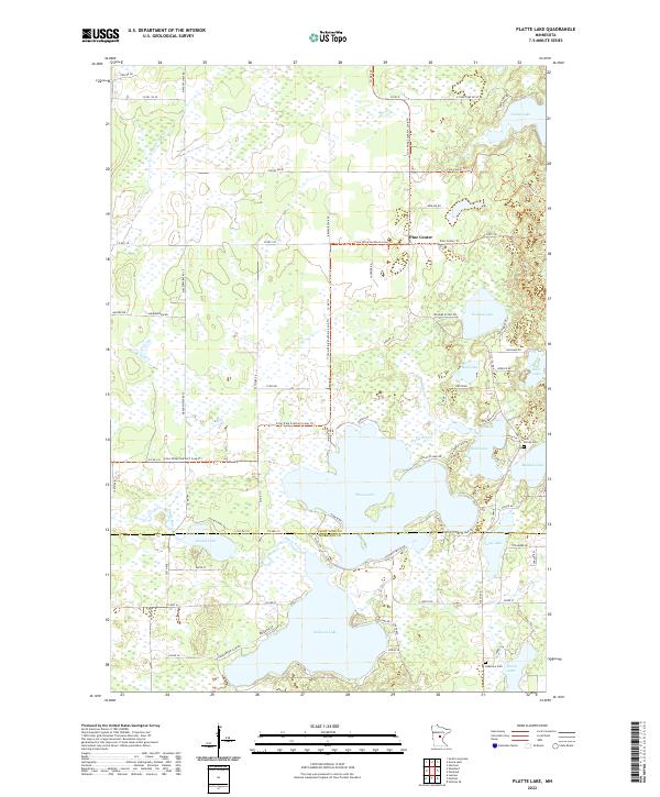
2022 Platte Lake
Crow Wing County, MN
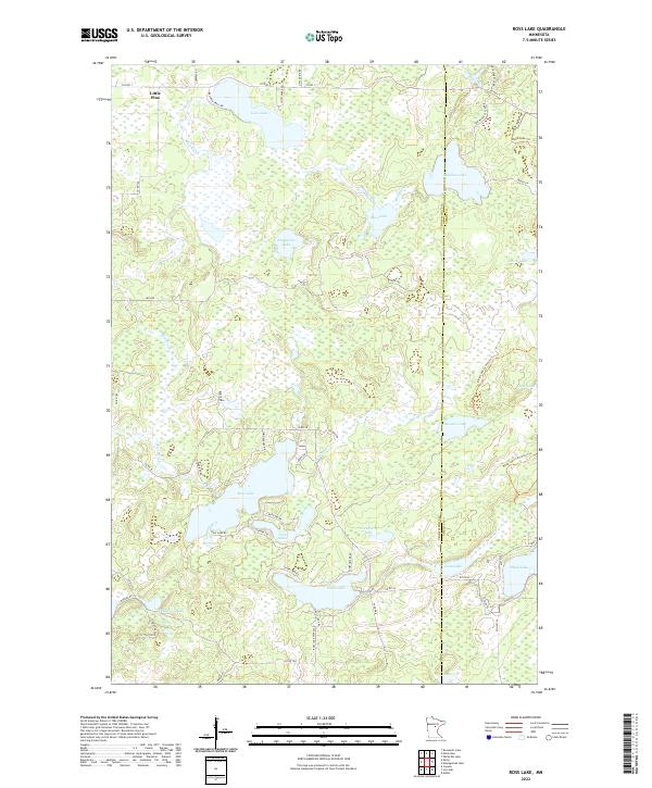
2022 Ross Lake
Crow Wing County, MN
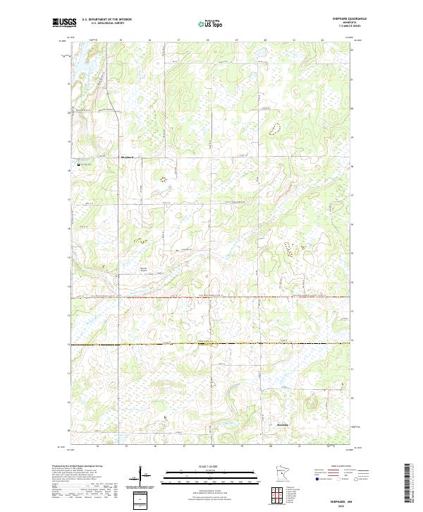
2022 Shephard
Crow Wing County, MN
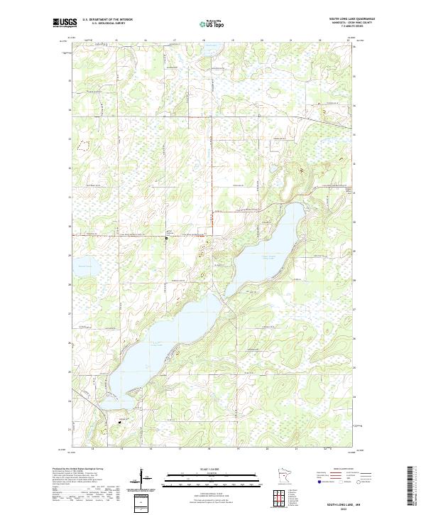
2022 South Long Lake
Crow Wing County, MN
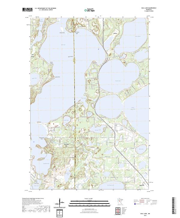
2023 Gull Lake
Crow Wing County, MN