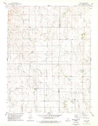
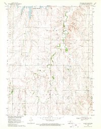
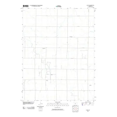
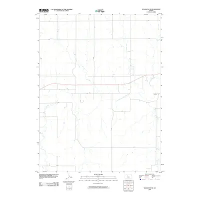
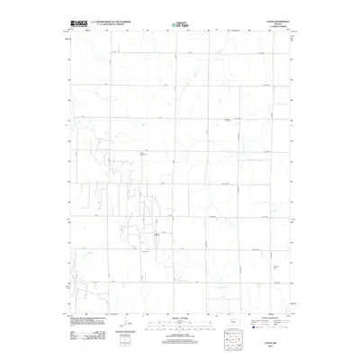
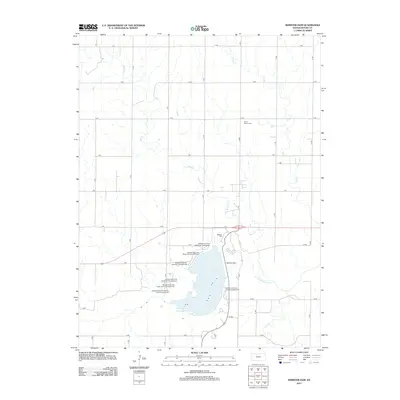
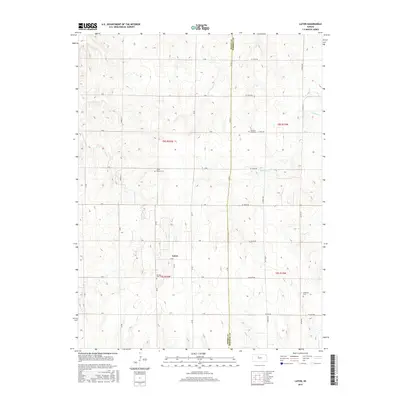
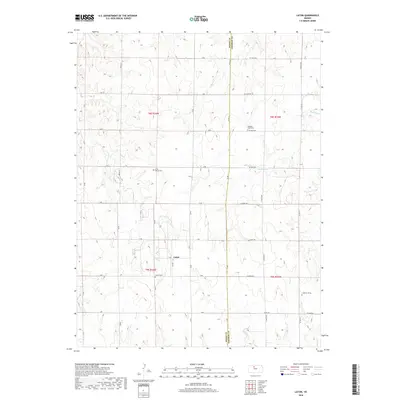
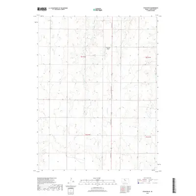
1978 Map of Laton
USGS Topo · Published 1979About this map
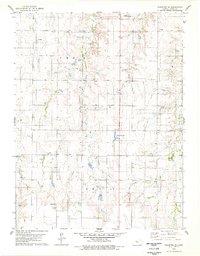
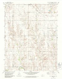
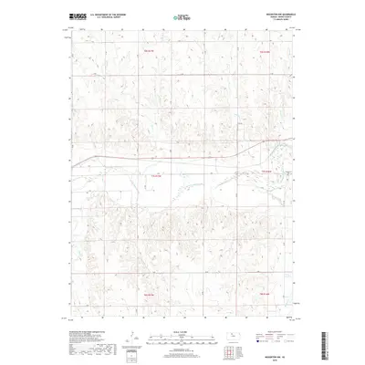
The rolling plains of Rooks and Osborne Counties appear here during the late 1970s, defined by a sparse network of rural settlements and agricultural land. The small community of Laton sits centrally, supported by nearby landmarks such as the Aurora Cemetery and a local Quarry. Further north, the landscape is marked by the prominence of Mount Ayr, while Medicine Creek winds through the eastern sections.
Find a feature on this map
20 named features on this map. Tap any name to fly to it.
Don’t see what you’re looking for? This feature index may not catch every label — zoom into the map to look around manually.
Map Details
Editions of this 1978 Laton Map
This is the sole edition of this map. No revisions or reprints were ever made.
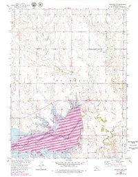
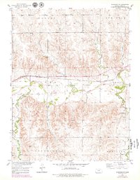
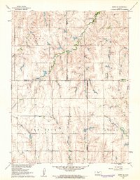
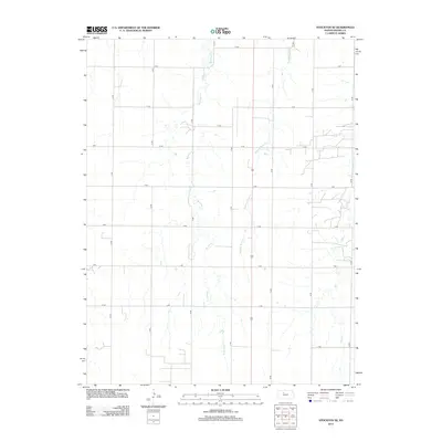
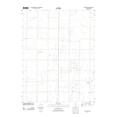
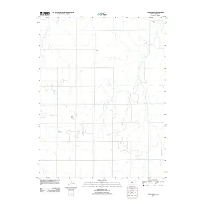
Historical Maps of Laton Through Time
48 maps found
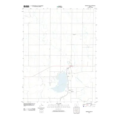
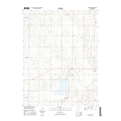
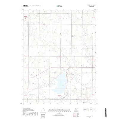
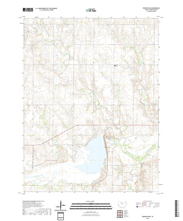
1952 Webster Dam
Rooks County, KS
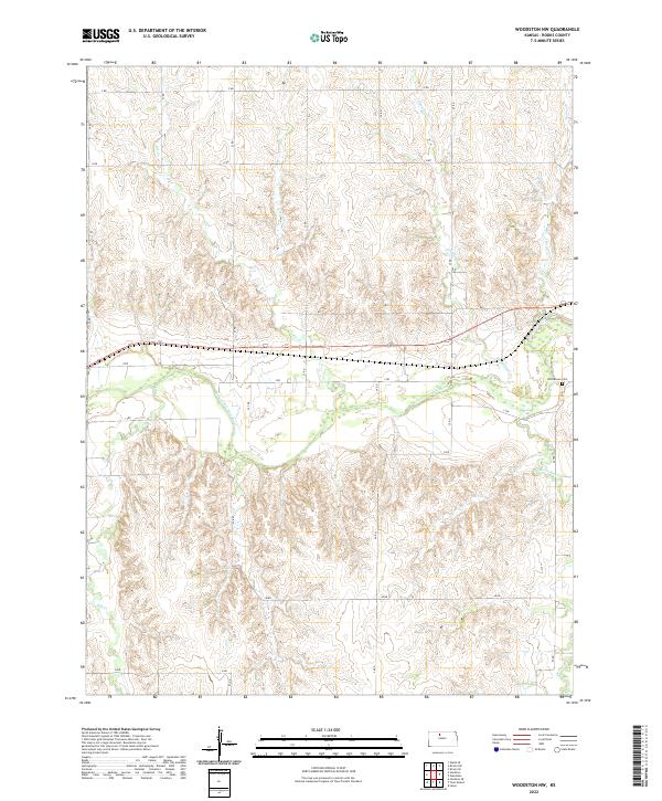
1953 Woodston NW
Rooks County, KS
1961 Kirwin SE
Rooks County, KS
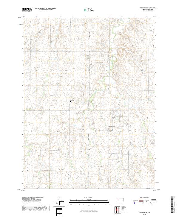
1969 Stockton SW
Rooks County, KS
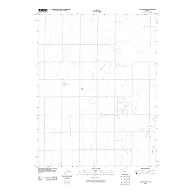
1978 Laton
Rooks County, KS
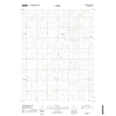
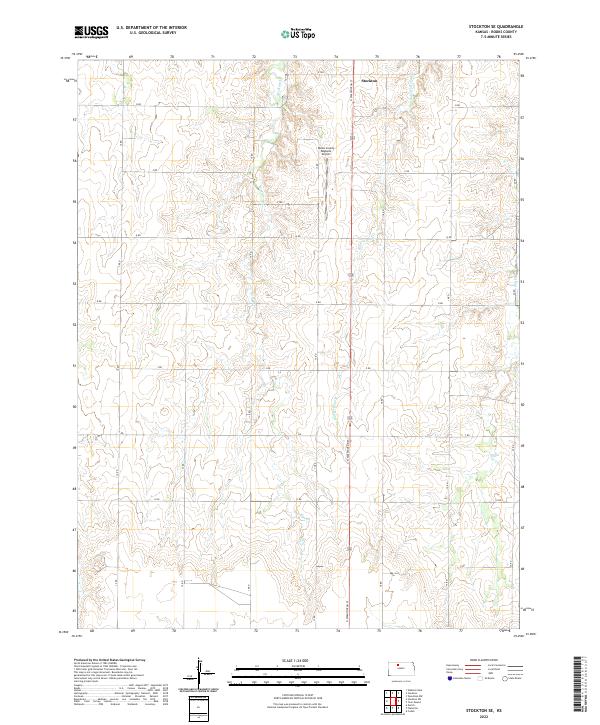
1978 Stockton SE
Rooks County, KS

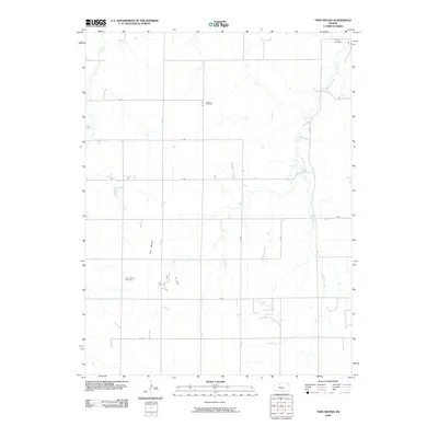
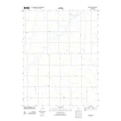
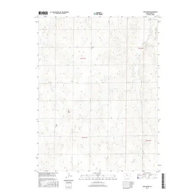
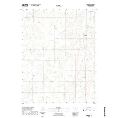
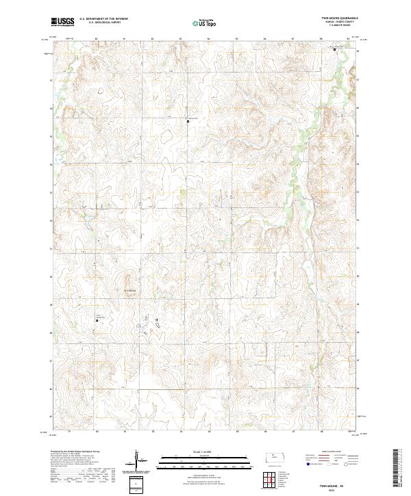
1978 Twin Mound
Rooks County, KS
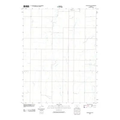
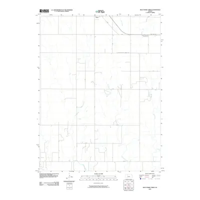
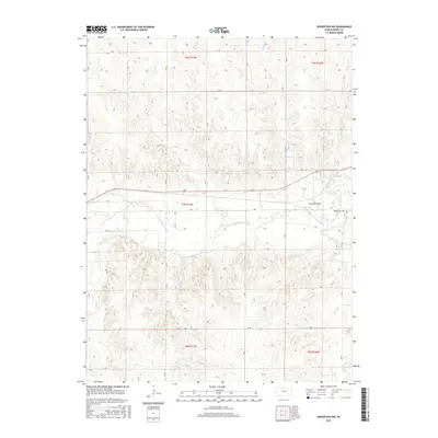
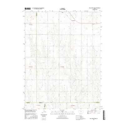
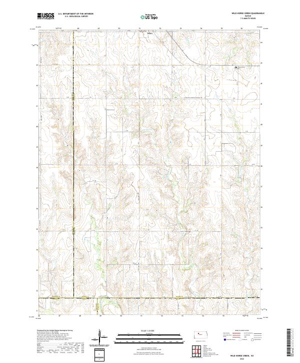
1979 Wild Horse Creek
Rooks County, KS
2009 Kirwin SE
Rooks County, KS
2009 Laton
Rooks County, KS
2009 Stockton SE
Rooks County, KS
2009 Twin Mound
Rooks County, KS
2009 Wild Horse Creek
Rooks County, KS
2009 Woodston NW
Rooks County, KS
2010 Stockton SW
Rooks County, KS
2010 Webster Dam
Rooks County, KS
2012 Kirwin SE
Rooks County, KS
2012 Laton
Rooks County, KS
2012 Stockton SE
Rooks County, KS
2012 Stockton SW
Rooks County, KS
2012 Twin Mound
Rooks County, KS
2012 Webster Dam
Rooks County, KS
2012 Wild Horse Creek
Rooks County, KS
2012 Woodston NW
Rooks County, KS
2015 Kirwin SE
Rooks County, KS
2015 Laton
Rooks County, KS

2015 Stockton SE
Rooks County, KS
2015 Twin Mound
Rooks County, KS
2015 Webster Dam
Rooks County, KS
2015 Woodston NW
Rooks County, KS
2016 Stockton SW
Rooks County, KS
2016 Wild Horse Creek
Rooks County, KS
2018 Kirwin SE
Rooks County, KS
2018 Laton
Rooks County, KS
2018 Stockton SE
Rooks County, KS
2018 Stockton SW
Rooks County, KS
2018 Twin Mound
Rooks County, KS
2018 Webster Dam
Rooks County, KS
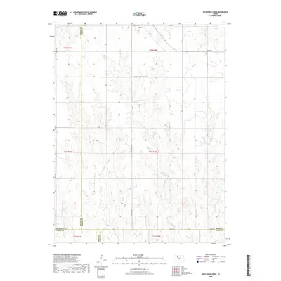
2018 Wild Horse Creek
Rooks County, KS
2018 Woodston NW
Rooks County, KS
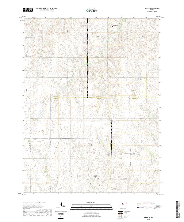
2022 Kirwin SE
Rooks County, KS
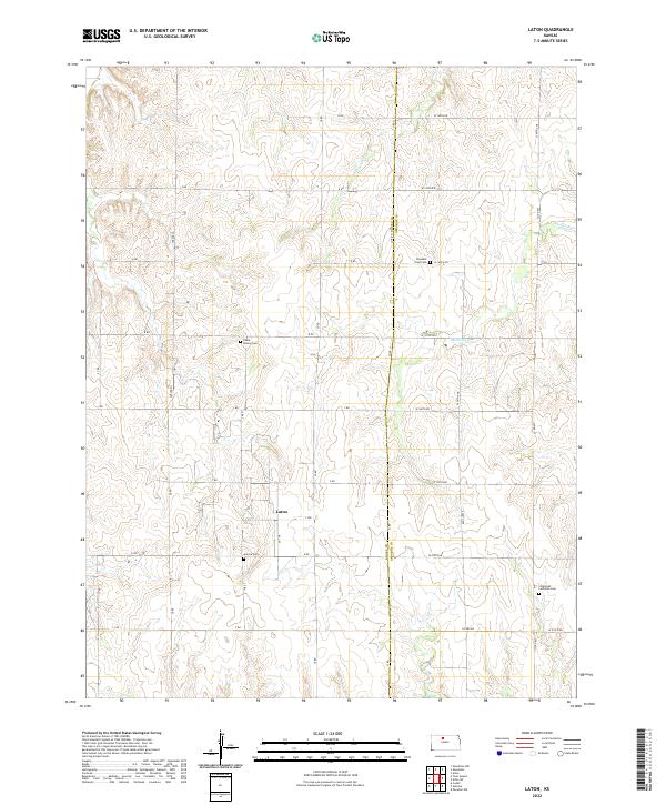
2022 Laton
Rooks County, KS
2022 Stockton SE
Rooks County, KS
2022 Stockton SW
Rooks County, KS
2022 Twin Mound
Rooks County, KS
2022 Webster Dam
Rooks County, KS
2022 Wild Horse Creek
Rooks County, KS
2022 Woodston NW
Rooks County, KS