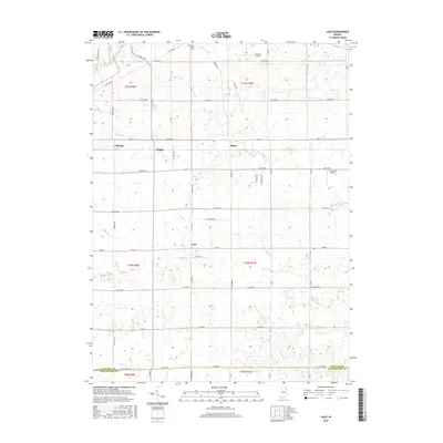
2016 Map of Laud
USGS Topo · Published 2016About this map
Laud serves as a central point of reference in this corner of Whitley County, where the landscape is defined by an intricate network of natural waterways and agricultural drainage. Significant water features including the Eel River and Blue River transition into a system of named creeks and man-made channels like Gangwer Ditch and Kersch Ditch, illustrating a long history of water management to support local farming. Smaller rural settlements such as Briggs, Peabody, and Raber are dispersed throughout the townships, connected by a strictly gridded road system that includes S State Rd 9. Local landmarks like Oak Grove Cem and the Gordon Airport reflect the communal and utility infrastructure of the area. The southern boundary reveals the divide between Whitley Co and Huntington County near Clear Cr, while the presence of Homestead Airport further northeast highlights the role of small-scale aviation in this rural Indiana setting.
Find a feature on this map
46 named features on this map. Tap any name to fly to it.
Don’t see what you’re looking for? This feature index may not catch every label — zoom into the map to look around manually.
Map Details
Editions of this 2016 Laud Map
This is the sole edition of this map. No revisions or reprints were ever made.
Other maps of this area

1953 · Fort Wayne
USGS Topo · 1:250,000

1953 · Muncie
USGS Topo · 1:250,000

1955 · Bippus
USGS Topo · 1:24,000

1955 · Columbia City
USGS Topo · 1:24,000

1956 · Muncie
USGS Topo · 1:250,000

1956 · Fort Wayne
USGS Topo · 1:250,000

1956 · Huntington
USGS Topo · 1:24,000

1956 · Lorane
USGS Topo · 1:24,000

1957 · Churubusco
USGS Topo · 1:24,000

1961 · Arcola
USGS Topo · 1:24,000