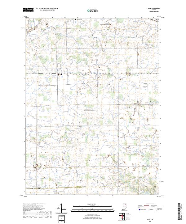
2022 Map of Laud
USGS Topo · Published 2022About this map
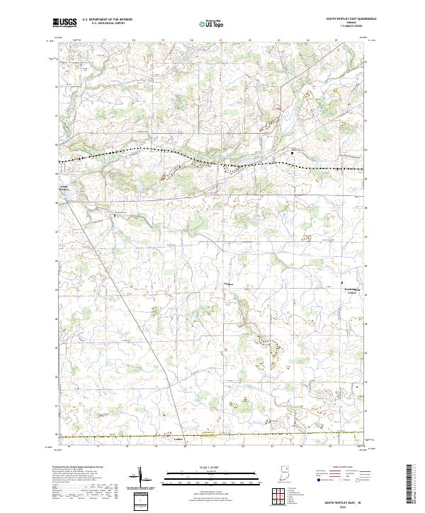
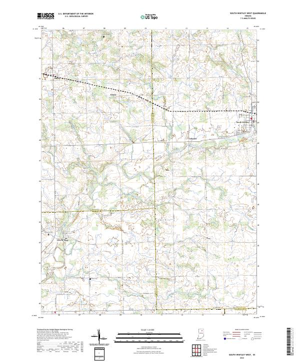
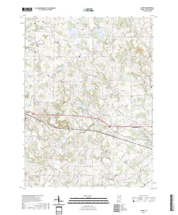
Laud serves as a central point in this agricultural landscape of southern Whitley County, situated at the intersection of several local routes. The area is defined by a dense network of water management features including Gangwer Ditch, Kaufman Ditch, and Deal-Taylor Ditch, which support the surrounding farmlands. Smaller settlements like Peabody, Briggs, and Raber appear along the northern corridors, providing a look at the historical rural distribution of this region. To the south, the terrain follows the natural winding paths of Big Indian Cr and Little Indian Cr as they approach the border with Huntington County. Local history is reflected in landmarks such as the Oak Grove Cem and aviation sites like Gordon Airport and Homestead Airport, while the Eel River crosses the northwest corner, marking one of the primary natural waterways in the quadrangle.
Find a feature on this map
52 named features on this map. Tap any name to fly to it.
Don’t see what you’re looking for? This feature index may not catch every label — zoom into the map to look around manually.
Map Details
Editions of this 2022 Laud Map
This is the sole edition of this map. No revisions or reprints were ever made.
Historical Maps of Indiana Through Time
9 maps found
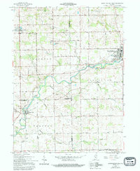
1956 Lorane
Whitley County, IN
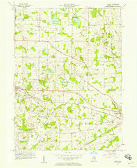
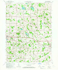
1961 Laud
Whitley County, IN
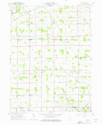
1962 South Whitley East
Whitley County, IN
1962 South Whitley West
Whitley County, IN
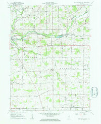
1965 Lorane
Whitley County, IN
2022 Laud
Whitley County, IN
2022 South Whitley East
Whitley County, IN
2022 South Whitley West
Whitley County, IN
2023 Lorane
Whitley County, IN