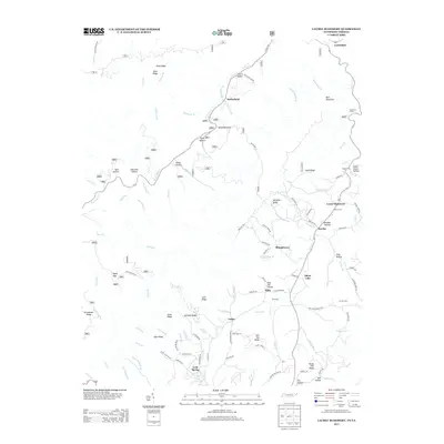
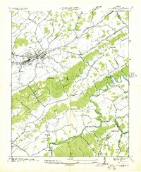
2013 Map of Laurel Bloomery
USGS Topo · Published 2013About this map
Laurel Bloomery and the neighboring community of Eureka anchor this 2013 topographic study of the Tennessee-Virginia borderlands. The landscape is defined by its deep hollows and prominent ridges, such as Backbone Rock and Morfield Ridge, which separate the various branches of Laurel Creek. This region’s heritage is preserved through numerous family and community burial grounds, including Matron Cem, Gentry Cem, and Wills Cem, often located near the small settlements that dot the narrow valley floors.
Find a feature on this map
118 named features on this map. Tap any name to fly to it.
Don’t see what you’re looking for? This feature index may not catch every label — zoom into the map to look around manually.
Map Details
Editions of this 2013 Laurel Bloomery Map
This is the sole edition of this map. No revisions or reprints were ever made.
Other maps of this area

1891 · Abingdon
USGS Topo · 1:125,000

1893 · Cranberry
USGS Topo · 1:125,000

1894 · Abingdon
USGS Topo · 1:125,000

1895 · Cranberry
USGS Topo · 1:125,000

1899 · Cranberry
USGS Topo · 1:125,000

1902 · Cranberry
USGS Topo · 1:125,000
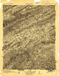
1909 · Abingdon
USGS Topo · 1:96,000
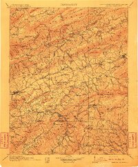
1911 · Abingdon
USGS Topo · 1:125,000
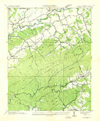
1935 · Konnarock
USGS Topo · 1:24,000
1935 · Abingdon
USGS Topo · 1:24,000