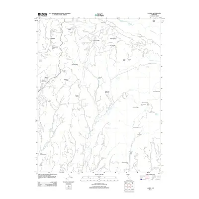
2012 Map of Laurel
USGS Topo · Published 2012About this map
Bethany University and the historic Burrell School anchor this Santa Cruz Mountains landscape, which is defined by steep ridges and narrow gulches. The settlement of Laurel sits at the head of Laurel Creek, while the legacy of early transit is marked by Tunnel Number 2 and the Glenwood Cutoff. Industry and recreation are balanced throughout the terrain, from the Fidel Ranch and several youth camps like Saint Marys Girls Camp to the deep logging-era echoes found at Top of the Incline and Bottom of the Incline. Diverse water systems including Lake Elsman and Williams Reservoir serve the high country, while complex local roads like Loma Prieta Ave and Summit Rd navigate the winding divides between Skyland Ridge and Hinckley Ridge.
Find a feature on this map
145 named features on this map. Tap any name to fly to it.
Don’t see what you’re looking for? This feature index may not catch every label — zoom into the map to look around manually.
Map Details
Editions of this 2012 Laurel Map
This is the sole edition of this map. No revisions or reprints were ever made.
Other maps of this area

1902 · Santa Cruz
USGS Topo · 1:125,000

1912 · Capitola
USGS Topo · 1:62,500

1914 · Capitola
USGS Topo · 1:62,500

1916 · New Almaden
USGS Topo · 1:48,000

1919 · New Almaden
USGS Topo · 1:62,500

1940 · Capitola
USGS Topo · 1:62,500

1940 · Los Gatos
USGS Topo · 1:62,500

1943 · Los Gatos
USGS Topo · 1:62,500

1947 · San Francisco
USGS Topo · 1:250,000

1947 · San Jose
USGS Topo · 1:250,000