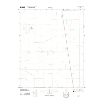
2010 Map of Lautz
USGS Topo · Published 2010About this map
Whaley Cemetery and the small siding of Lautz define the human geography of this High Plains landscape in Sherman County. The map captures an area dominated by large-scale ranching and agriculture, centered around the Pronger Brothers Ranch Airport in the northwest. A strict grid of county roads, including Co Rd U and Co Rd V, dissects the terrain, facilitating the movement of goods and livestock across the Texas Panhandle. Significant natural and infrastructure markers like Elephant Lake and FM 1573 provide essential orientation in this wide-open environment. The layout of these roads and the location of the cemetery offer genealogical and local history researchers a precise view of family landholdings and community focal points in the early 21st century.
Find a feature on this map
10 named features on this map. Tap any name to fly to it.
Don’t see what you’re looking for? This feature index may not catch every label — zoom into the map to look around manually.
Map Details
Editions of this 2010 Lautz Map
This is the sole edition of this map. No revisions or reprints were ever made.
Other maps of this area

1954 · Perryton
USGS Topo · 1:250,000

1954 · Dalhart
USGS Topo · 1:250,000

1958 · Perryton
USGS Topo · 1:250,000

1958 · Dalhart
USGS Topo · 1:250,000

1962 · Dalhart
USGS Topo · 1:250,000

1963 · Cactus East
USGS Topo · 1:24,000

1964 · Brickel
USGS Topo · 1:24,000

1964 · Stevens SW
USGS Topo · 1:24,000

1964 · Stratford
USGS Topo · 1:24,000

1965 · Lautz
USGS Topo · 1:24,000