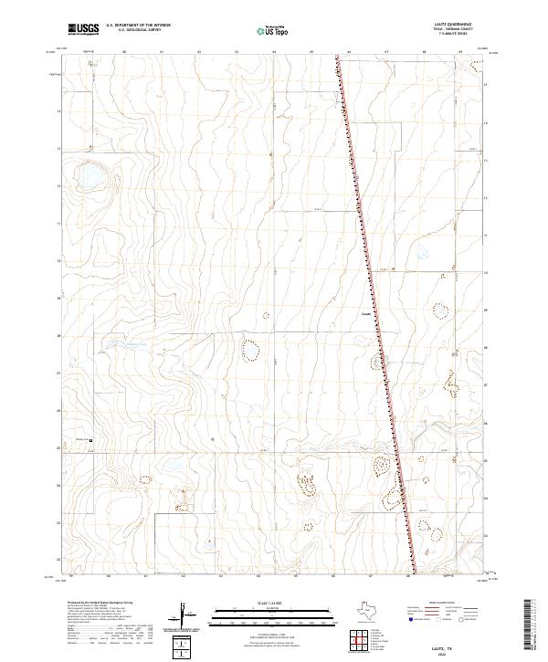
2022 Map of Lautz
USGS Topo · Published 2022About this map
Whaley Cem sits in the southwestern reaches of this Sherman County landscape, providing a specific point of interest for genealogists and local historians exploring the Texas Panhandle. The settlement of Lautz serves as the primary landmark along the US Route 287 corridor, which cuts a sharp diagonal line through the otherwise grid-patterned agricultural terrain. This area is characterized by high plains topography, where natural depressions like Elephant Lake interrupt the vast stretches of ranch and farmland.
Find a feature on this map
12 named features on this map. Tap any name to fly to it.
Don’t see what you’re looking for? This feature index may not catch every label — zoom into the map to look around manually.
Map Details
Editions of this 2022 Lautz Map
This is the sole edition of this map. No revisions or reprints were ever made.
Other maps of this area

1954 · Perryton
USGS Topo · 1:250,000

1954 · Dalhart
USGS Topo · 1:250,000

1958 · Perryton
USGS Topo · 1:250,000

1958 · Dalhart
USGS Topo · 1:250,000

1962 · Dalhart
USGS Topo · 1:250,000

1963 · Cactus East
USGS Topo · 1:24,000

1964 · Brickel
USGS Topo · 1:24,000

1964 · Stevens SW
USGS Topo · 1:24,000

1964 · Stratford
USGS Topo · 1:24,000

1965 · Lautz
USGS Topo · 1:24,000