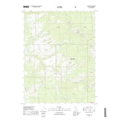
2019 Map of Lava Creek
USGS Topo · Published 2019About this map
The White River National Forest defines the high-altitude landscape of this Eagle County region, where a complex network of drainage basins and mountain peaks shapes the terrain. High summits such as West Peak and Cottonwood Peak overlook a series of glacial lakes, including Marma Lake, Lava Lake, and Walters Lake. This 2019 survey documents the intricate system of draws and gulches, such as Edwards Draw and Grass Gulch, which channel water into the Piney River and the S Fork Piney. The presence of several named springs like Dodo Spring and Grass Gulch Spring indicates a landscape where water sources were critical for early backcountry travel and forest management. Significant geographic transit points are marked at Muddy Pass and McCord Pass, illustrating the traditional routes used to navigate between the steep ridges of Piney Ridge and the deep recesses of Box Canyon.
Find a feature on this map
54 named features on this map. Tap any name to fly to it.
Don’t see what you’re looking for? This feature index may not catch every label — zoom into the map to look around manually.
Map Details
Editions of this 2019 Lava Creek Map
This is the sole edition of this map. No revisions or reprints were ever made.
Other maps of this area

1933 · Mt. Powell
USGS Topo · 1:48,000

1934 · Minturn
USGS Topo · 1:62,500

1940 · Mount Powell
USGS Topo · 1:62,500

1950 · Minturn
USGS Topo · 1:62,500

1957 · Leadville
USGS Topo · 1:250,000

1959 · Leadville
USGS Topo · 1:250,000

1960 · Leadville
USGS Topo · 1:250,000

1962 · Leadville
USGS Topo · 1:250,000

1962 · Wolcott
USGS Topo · 1:24,000

1962 · Edwards
USGS Topo · 1:24,000