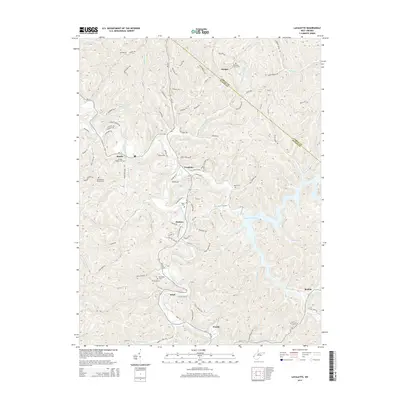
2014 Map of Lavalette
USGS Topo · Published 2014About this map
Twelvepole Creek winds through the central valley of this Wayne County landscape, serving as the primary drainage for a series of ridges and hollows including German Ridge and Brumfield Ridge. The northern boundary of the map follows the line between Cabell and Wayne counties. Historically significant family and community landmarks are scattered across the terrain, notably several resting places such as the Stephenson Family Cem, Luther Bowen Cem, and Bloss Cem. The eastern portion of the sheet is dominated by the waters of Beech Fork Lake, which fills the valleys formerly carved by Mays Branch and Stowers Branch. Small settlements like Lavalette, Dickson, and Shoals are connected by WV-152 and WV-75, illustrating a modern rural development pattern that remains deeply tied to the underlying topography of the West Virginia hills.
Find a feature on this map
123 named features on this map. Tap any name to fly to it.
Don’t see what you’re looking for? This feature index may not catch every label — zoom into the map to look around manually.
Map Details
Editions of this 2014 Lavalette Map
This is the sole edition of this map. No revisions or reprints were ever made.
Other maps of this area

1892 · Huntington
USGS Topo · 1:125,000

1898 · Huntington
USGS Topo · 1:125,000

1901 · Guyandot
USGS Topo · 1:62,500

1901 · Ceredo
USGS Topo · 1:62,500

1902 · Guyandot
USGS Topo · 1:62,500

1903 · Kenova
USGS Topo · 1:125,000

1904 · Kenova
USGS Topo · 1:125,000

1909 · Wayne
USGS Topo · 1:62,500

1911 · Louisa
USGS Topo · 1:48,000

1913 · Ceredo
USGS Topo · 1:62,500