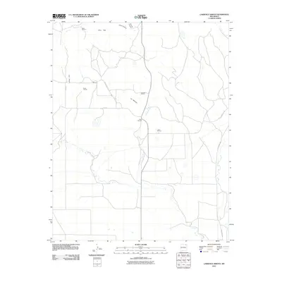
2010 Map of Lawrence Arroyo
USGS Topo · Published 2010About this map
Lawrence Arroyo cuts through this high plains landscape of Union County, providing a vital drainage corridor through the elevated terrain of Las Mesetas. The area's ranching heritage is evident in the strategic placement of family-named water sources, including Mesa Windmill, Reville Windmill, and Archuleta Windmill. These landmarks serve as the primary navigational points in a sparsely populated region where the settlement of Romero sits at the junction of County Road A-15 and Chico Rd.
Find a feature on this map
17 named features on this map. Tap any name to fly to it.
Don’t see what you’re looking for? This feature index may not catch every label — zoom into the map to look around manually.
Map Details
Editions of this 2010 Lawrence Arroyo Map
This is the sole edition of this map. No revisions or reprints were ever made.
Other maps of this area

1954 · Raton
USGS Topo · 1:250,000

1954 · Dalhart
USGS Topo · 1:250,000

1958 · Raton
USGS Topo · 1:250,000

1958 · Dalhart
USGS Topo · 1:250,000

1962 · Dalhart
USGS Topo · 1:250,000

1971 · Pine Buttes
USGS Topo · 1:24,000

1971 · Palo Blanco Mountain
USGS Topo · 1:24,000

1972 · Malpie Mountain
USGS Topo · 1:24,000

1973 · Gladstone NW
USGS Topo · 1:24,000

1974 · Point Of Rocks Mesa
USGS Topo · 1:24,000