
1974 Map of Point Of Rocks Mesa
USGS Topo · Published 1977About this map
The Santa Fe Trail (Cimarron Cutoff) traces a diagonal path across this high plains landscape, anchoring the historical significance of the region. The prominent landform of Point of Rocks Mesa rises sharply from the surrounding terrain, featuring notable landmarks like Hogback Butte and the deep incisions of Blackjack Canyon and Goldmine Canyon. This area served as a critical waypoint for travelers, evidenced by the presence of numerous water sources such as Chico Springs, Willow Springs, and Middle Water Springs.
Find a feature on this map
40 named features on this map. Tap any name to fly to it.
Don’t see what you’re looking for? This feature index may not catch every label — zoom into the map to look around manually.
Map Details
Editions of this 1974 Point Of Rocks Mesa Map
This is the sole edition of this map. No revisions or reprints were ever made.
Other maps of this area

1954 · Raton
USGS Topo · 1:250,000

1958 · Raton
USGS Topo · 1:250,000

1965 · Sauble Circle Dot Ranch
USGS Topo · 1:24,000

1965 · Abbott
USGS Topo · 1:24,000

1971 · Tres Hermanos Peak
USGS Topo · 1:24,000

1971 · Pine Buttes
USGS Topo · 1:24,000

1971 · Palo Blanco Mountain
USGS Topo · 1:24,000

1974 · Farley
USGS Topo · 1:24,000
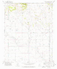
1974 · Lawrence Arroyo
USGS Topo · 1:24,000
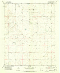
1974 · Ingram Lake
USGS Topo · 1:24,000