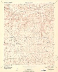
1951 Map of Lawrence Cove
USGS Topo · Published 1951About this map
Lawrence Cove sits at the base of Self Mountain, defining a landscape where the rugged uplands of Brindley Mountain meet the drainage basins of West Fork Cotaco Creek. This 1940s-era fieldwork reveals a dense network of rural community life concentrated along the Morgan Co-Cullman Co line. Small settlements like Center Dale and Fairview are surrounded by a high density of country churches and family cemeteries, such as Daniel Chapel, Lawrence Chapel Cem, and Macedonia Ch.
Find a feature on this map
66 named features on this map. Tap any name to fly to it.
Don’t see what you’re looking for? This feature index may not catch every label — zoom into the map to look around manually.
Map Details
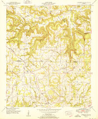
Editions of this 1951 Lawrence Cove Map
2 editions found
Other maps of this area

1888 · Cullman
USGS Topo · 1:125,000

1892 · Cullman
USGS Topo · 1:125,000

1936 · Hulaco
USGS Topo · 1:24,000

1936 · Eva
USGS Topo · 1:24,000

1936 · Somerville
USGS Topo · 1:24,000

1936 · Lawrence Cove
USGS Topo · 1:24,000

1936 · Center Grove
USGS Topo · 1:24,000

1936 · Holly Pond
USGS Topo · 1:24,000
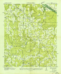
1936 · Newsome Sinks
USGS Topo · 1:24,000
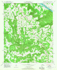
1947 · Newsome Sinks
USGS Topo · 1:24,000