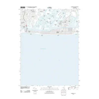
2012 Map of Lawrence
USGS Topo · Published 2012About this map
Reynolds Channel serves as the central artery for this coastal landscape, separating the barrier island communities from the mainland. The map reveals the intricate shoreline of southwestern Long Island, where suburban developments like Lawrence, Cedarhurst, and Inwood meet a complex network of marshes and tidal waterways. The dense residential grid of Long Beach and Lido Beach contrasts sharply with the fragmented terrain of Lawrence Marsh and numerous small islands such as Hog Island and Barnum Island.
Find a feature on this map
79 named features on this map. Tap any name to fly to it.
Don’t see what you’re looking for? This feature index may not catch every label — zoom into the map to look around manually.
Map Details
Editions of this 2012 Lawrence Map
This is the sole edition of this map. No revisions or reprints were ever made.
Other maps of this area

1889 · Brooklyn
USGS Topo · 1:62,500

1891 · Brooklyn
USGS Topo · 1:62,500

1897 · Brooklyn
USGS Topo · 1:62,500

1897 · Hempstead
USGS Topo · 1:62,500

1898 · Hempstead
USGS Topo · 1:62,500

1898 · Brooklyn
USGS Topo · 1:62,500

1899 · Hempstead
USGS Topo · 1:62,500

1900 · Brooklyn
USGS Topo · 1:62,500

1903 · Hempstead
USGS Topo · 1:62,500
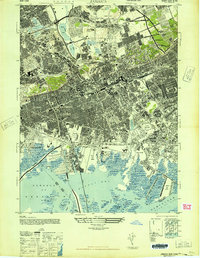
1947 · Jamaica
USGS Topo · 1:24,000