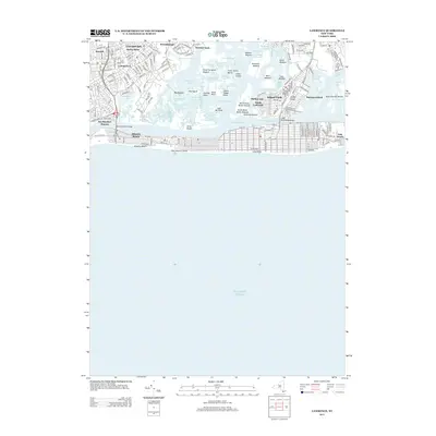
2013 Map of Lawrence
USGS Topo · Published 2013About this map
Saint Marys Cem and the residential neighborhoods of Lawrence and Cedarhurst anchor the northwestern portion of this coastal landscape, where the dense suburban grid meets a complex network of marshland and tidal channels. The geography is defined by a labyrinth of water bodies, including Brosewere Bay and Reynolds Channel, which separate the mainland from barrier island communities like Atlantic Beach and Long Beach.
Find a feature on this map
62 named features on this map. Tap any name to fly to it.
Don’t see what you’re looking for? This feature index may not catch every label — zoom into the map to look around manually.
Map Details
Editions of this 2013 Lawrence Map
This is the sole edition of this map. No revisions or reprints were ever made.
Other maps of this area

1889 · Brooklyn
USGS Topo · 1:62,500

1891 · Brooklyn
USGS Topo · 1:62,500

1897 · Brooklyn
USGS Topo · 1:62,500

1897 · Hempstead
USGS Topo · 1:62,500

1898 · Hempstead
USGS Topo · 1:62,500

1898 · Brooklyn
USGS Topo · 1:62,500

1899 · Hempstead
USGS Topo · 1:62,500

1900 · Brooklyn
USGS Topo · 1:62,500

1903 · Hempstead
USGS Topo · 1:62,500
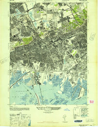
1947 · Jamaica
USGS Topo · 1:24,000