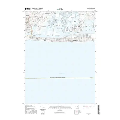
2016 Map of Lawrence
USGS Topo · Published 2016About this map
Saint Marys Cem and the Shor Yoshuv Rabbinical Coll sit near the border of Queens and Nassau counties, anchoring a densely settled coastal landscape. This survey of the South Shore illustrates the complex relationship between residential growth and the tidal marshlands of Bannister Bay and Reynolds Channel. The map details the interconnected island communities of Harbor Isle and Barnum Island, separated from the mainland by a network of waterways including Swift Creek and Nums Channel. The Long Island railroad line cuts through the heart of the northern settlements, while the Atlantic Beach Bridge provides a vital link to the barrier island beach communities. From the marshes of Hewlett Hassock to the residential streets of Long Beach, the map captures a modern coastal environment shaped by historical settlement patterns and significant geographic engineering.
Find a feature on this map
204 named features on this map. Tap any name to fly to it.
Don’t see what you’re looking for? This feature index may not catch every label — zoom into the map to look around manually.
Map Details
Editions of this 2016 Lawrence Map
This is the sole edition of this map. No revisions or reprints were ever made.
Other maps of this area

1889 · Brooklyn
USGS Topo · 1:62,500

1891 · Brooklyn
USGS Topo · 1:62,500

1897 · Brooklyn
USGS Topo · 1:62,500

1897 · Hempstead
USGS Topo · 1:62,500

1898 · Hempstead
USGS Topo · 1:62,500

1898 · Brooklyn
USGS Topo · 1:62,500

1899 · Hempstead
USGS Topo · 1:62,500

1900 · Brooklyn
USGS Topo · 1:62,500

1903 · Hempstead
USGS Topo · 1:62,500
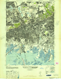
1947 · Jamaica
USGS Topo · 1:24,000