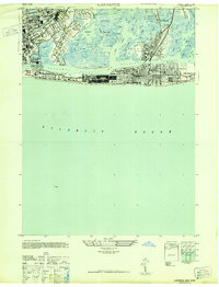
1947 Map of Lawrence
USGS Topo · Published 1947About this map
Hempstead Bay and its complex network of tidal channels define the southern shoreline of Nassau County in this mid-century survey. The landscape is a study in early suburban development and coastal recreation, where the Long Island RR connects established villages like Cedarhurst and Lawrence to the expanding beachfront communities of Long Beach and Lido Beach. The map highlights a highly manicured environment, dotted with numerous leisure landmarks including the Rockaway Hunting Club, Cedarhurst Yacht Club, and the Nassau Hotel.
Find a feature on this map
64 named features on this map. Tap any name to fly to it.
Don’t see what you’re looking for? This feature index may not catch every label — zoom into the map to look around manually.
Map Details
Editions of this 1947 Lawrence Map
This is the sole edition of this map. No revisions or reprints were ever made.
Other maps of this area
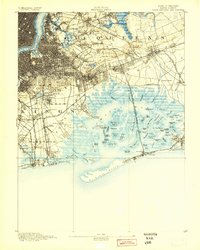
1889 · Brooklyn
USGS Topo · 1:62,500
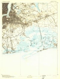
1891 · Brooklyn
USGS Topo · 1:62,500
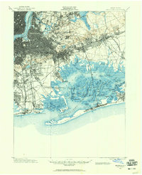
1897 · Brooklyn
USGS Topo · 1:62,500
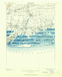
1897 · Hempstead
USGS Topo · 1:62,500
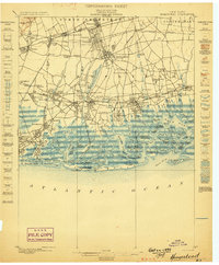
1898 · Hempstead
USGS Topo · 1:62,500
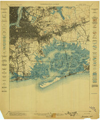
1898 · Brooklyn
USGS Topo · 1:62,500
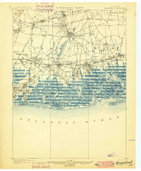
1899 · Hempstead
USGS Topo · 1:62,500
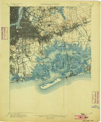
1900 · Brooklyn
USGS Topo · 1:62,500
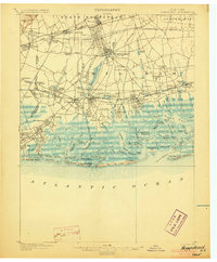
1903 · Hempstead
USGS Topo · 1:62,500
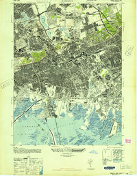
1947 · Jamaica
USGS Topo · 1:24,000