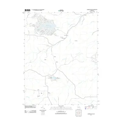
2011 Map of Lawrenceton
USGS Topo · Published 2011About this map
Lawrenceton sits at the center of this 2011 survey, where the winding course of the Fourche a Du Clos cuts through a landscape defined by significant water management and rural interment sites. The northern portion of the map is dominated by the residential development surrounding Goose Creek Lake, while further south, the Erb Lake complex features infrastructure such as Lake Seven Falls Dam Number 2.
Find a feature on this map
85 named features on this map. Tap any name to fly to it.
Don’t see what you’re looking for? This feature index may not catch every label — zoom into the map to look around manually.
Map Details
Editions of this 2011 Lawrenceton Map
This is the sole edition of this map. No revisions or reprints were ever made.
Other maps of this area

1904 · Farmington
USGS Topo · 1:62,500

1906 · Farmington
USGS Topo · 1:62,500

1907 · Weingarten
USGS Topo · 1:62,500

1909 · Weingarten
USGS Topo · 1:62,500

1915 · Renault
USGS Topo · 1:62,500

1915 · Crystal City
USGS Topo · 1:62,500

1940 · Renault
USGS Topo · 1:62,500

1949 · Saint Louis
USGS Topo · 1:250,000

1949 · Rolla
USGS Topo · 1:250,000

1949 · Crystal City
USGS Topo · 1:62,500