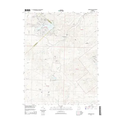
2015 Map of Lawrenceton
USGS Topo · Published 2015About this map
Lawrenceton sits at the heart of this landscape, positioned where the drainage of Fourche a Du Clos meets the broken topography of Pinhook Hollow and Pine Ridge. The map documents a predominantly rural and residential character across the boundary of Ste. Genevieve and St. Francois counties. Evidence of early family settlement is clear through the numerous small burial grounds distributed across the terrain, including the Bequette Cemetery, Jenning Cemetery, and Patterson Cemetery.
Find a feature on this map
102 named features on this map. Tap any name to fly to it.
Don’t see what you’re looking for? This feature index may not catch every label — zoom into the map to look around manually.
Map Details
Editions of this 2015 Lawrenceton Map
This is the sole edition of this map. No revisions or reprints were ever made.
Other maps of this area

1904 · Farmington
USGS Topo · 1:62,500

1906 · Farmington
USGS Topo · 1:62,500

1907 · Weingarten
USGS Topo · 1:62,500

1909 · Weingarten
USGS Topo · 1:62,500

1915 · Renault
USGS Topo · 1:62,500

1915 · Crystal City
USGS Topo · 1:62,500

1940 · Renault
USGS Topo · 1:62,500

1949 · Saint Louis
USGS Topo · 1:250,000

1949 · Rolla
USGS Topo · 1:250,000

1949 · Crystal City
USGS Topo · 1:62,500