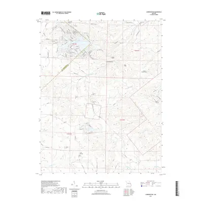
2017 Map of Lawrenceton
USGS Topo · Published 2017About this map
Lawrenceton serves as the central hub of this eastern Missouri landscape, where the rolling topography is deeply carved by a network of creeks and named hollows. The settlement pattern is defined by family legacy and quiet rural life, evidenced by a high density of small burial grounds such as Patterson Cem, Bequette Cem, and Beckemeyer Cem. These landmarks, along with Little Vine Cem near Little Vine Hill, offer significant data for genealogists tracing the early residents of this borderland between Ste. Genevieve and St. Francois counties.
Find a feature on this map
72 named features on this map. Tap any name to fly to it.
Don’t see what you’re looking for? This feature index may not catch every label — zoom into the map to look around manually.
Map Details
Editions of this 2017 Lawrenceton Map
This is the sole edition of this map. No revisions or reprints were ever made.
Other maps of this area

1904 · Farmington
USGS Topo · 1:62,500

1906 · Farmington
USGS Topo · 1:62,500

1907 · Weingarten
USGS Topo · 1:62,500

1909 · Weingarten
USGS Topo · 1:62,500

1915 · Renault
USGS Topo · 1:62,500

1915 · Crystal City
USGS Topo · 1:62,500

1940 · Renault
USGS Topo · 1:62,500

1949 · Saint Louis
USGS Topo · 1:250,000

1949 · Rolla
USGS Topo · 1:250,000

1949 · Crystal City
USGS Topo · 1:62,500