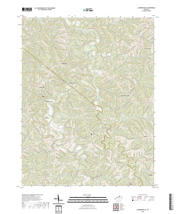
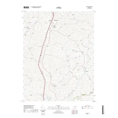
2022 Map of Lawrenceville
USGS Topo · Published 2022About this map
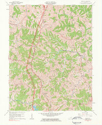
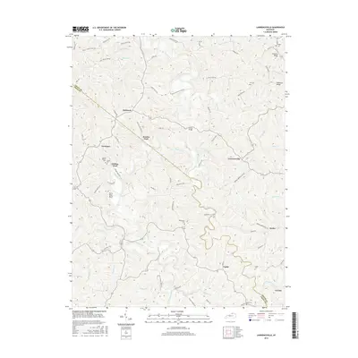
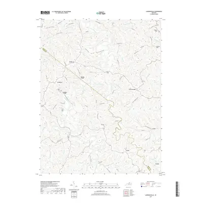
Eagle Creek carves a winding path through the borderlands of Owen and Grant counties, creating a landscape defined by sharp ridges and deep hollows. The settlement pattern is largely dictated by these narrow valley floors and the high points of Simpson Ridge and Chipman Ridge. Small communities like Lawrenceville, Holbrook, and Keefer serve as the primary hubs for the surrounding farmsteads.
Find a feature on this map
85 named features on this map. Tap any name to fly to it.
Don’t see what you’re looking for? This feature index may not catch every label — zoom into the map to look around manually.
Map Details
Editions of this 2022 Lawrenceville Map
This is the sole edition of this map. No revisions or reprints were ever made.
Historical Maps of Holiday Ford Through Time
19 maps found
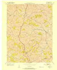
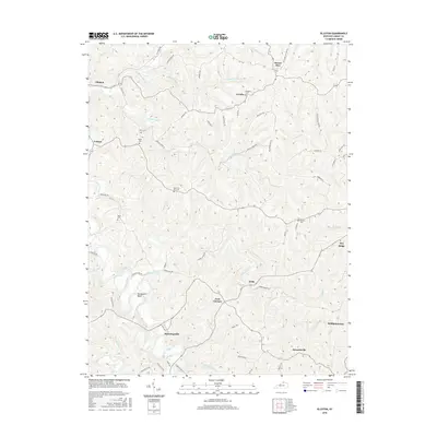
1950 Elliston
Grant County, KY
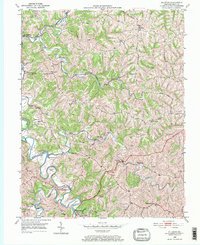
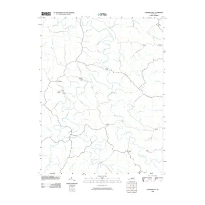
1950 Lawrenceville
Grant County, KY
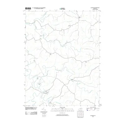
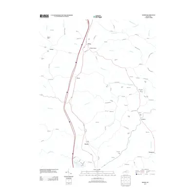
1950 Mason
Grant County, KY
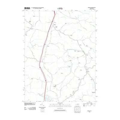
1961 Mason
Grant County, KY
2010 Elliston
Grant County, KY
2010 Lawrenceville
Grant County, KY
2010 Mason
Grant County, KY
2013 Elliston
Grant County, KY
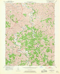
2013 Lawrenceville
Grant County, KY
2013 Mason
Grant County, KY
2016 Elliston
Grant County, KY
2016 Lawrenceville
Grant County, KY
2016 Mason
Grant County, KY
2019 Elliston
Grant County, KY
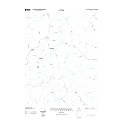
2019 Lawrenceville
Grant County, KY
2019 Mason
Grant County, KY
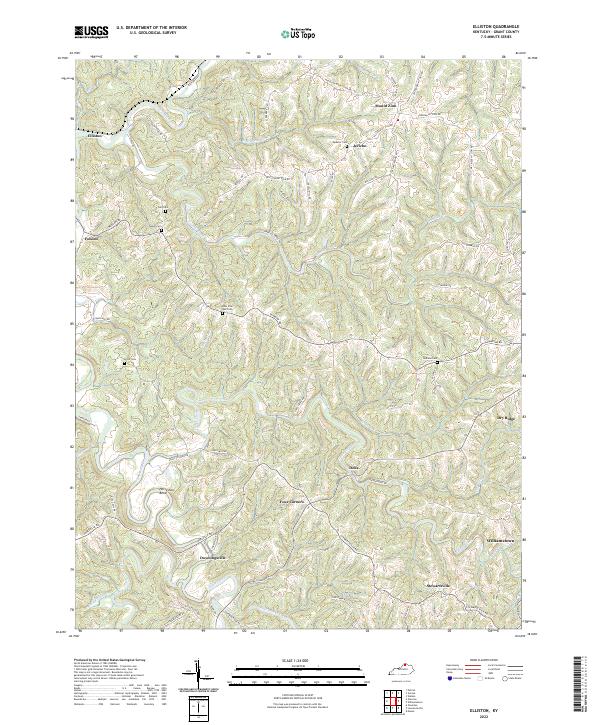
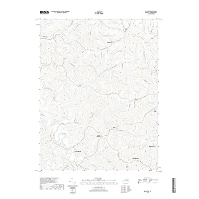
2022 Elliston
Grant County, KY
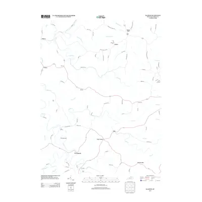
2022 Lawrenceville
Grant County, KY
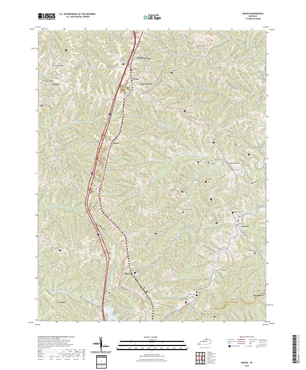
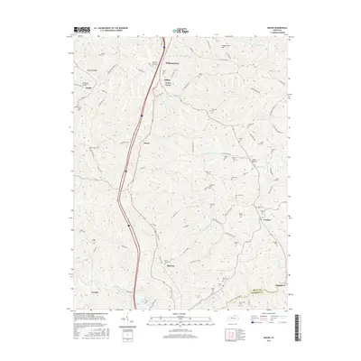
2022 Mason
Grant County, KY