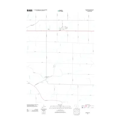
2013 Map of Lawton
USGS Topo · Published 2013About this map
The town of Lawton sits at a critical junction in Woodbury County, where the historic Correctionville Rd meets the modern path of Highway 20. This landscape is defined by the drainage patterns of the Loess Hills region, with Big Whisky Creek and Elliott Cr carving southwesterly paths through the agricultural grid. To the south, the village of Bronson is positioned along the Bronson Blacktop, surrounded by a network of section-line roads like Emmett Ave and Eastland Ave. The presence of the Lawton Airport northwest of the main town site highlights the area's modern infrastructure. For those researching the geography of the Floyd River watershed, the map documents the intricate flow of Deer Cr and Camp Cr as they move through the rural Iowa countryside.
Find a feature on this map
41 named features on this map. Tap any name to fly to it.
Don’t see what you’re looking for? This feature index may not catch every label — zoom into the map to look around manually.
Map Details
Editions of this 2013 Lawton Map
This is the sole edition of this map. No revisions or reprints were ever made.
Other maps of this area

1955 · Sioux City
USGS Topo · 1:250,000

1958 · Sioux City
USGS Topo · 1:250,000

1959 · Sioux City
USGS Topo · 1:250,000

1962 · Union Center
USGS Topo · 1:62,500

1964 · Sergeant Bluff
USGS Topo · 1:24,000

1964 · James
USGS Topo · 1:24,000

1964 · Lawton
USGS Topo · 1:24,000

1964 · Climbing Hill
USGS Topo · 1:24,000

1964 · Luton
USGS Topo · 1:24,000

1964 · Moville
USGS Topo · 1:24,000