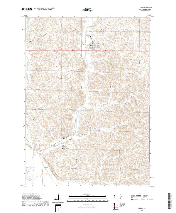
2022 Map of Lawton
USGS Topo · Published 2022About this map
Lawton and Bronson anchor this Woodbury County landscape, where the traditional section-line road grid meets the winding drainages of the Loess Hills region. The map reveals a community defined by its agricultural roots and proximity to the Lawton Airport, with several family and township burial grounds preserved across the townships. Genealogists and local researchers can pinpoint Eberly Cem, Banner Cem, and the Floyd Township Cem, which serve as quiet landmarks among the expansive fields. The drainage patterns of Big Whisky Cr, Elliott Cr, and Deer Cr provide a natural contrast to the straight paths of Correctionville Rd and Old Hwy 141. This detailed topographic survey illustrates the modern layout of rural Iowa, where local thoroughfares like Co Hwy D38 connect these small hubs to the surrounding countryside.
Find a feature on this map
35 named features on this map. Tap any name to fly to it.
Don’t see what you’re looking for? This feature index may not catch every label — zoom into the map to look around manually.
Map Details
Editions of this 2022 Lawton Map
This is the sole edition of this map. No revisions or reprints were ever made.
Other maps of this area

1955 · Sioux City
USGS Topo · 1:250,000

1958 · Sioux City
USGS Topo · 1:250,000

1959 · Sioux City
USGS Topo · 1:250,000

1962 · Union Center
USGS Topo · 1:62,500

1964 · Sergeant Bluff
USGS Topo · 1:24,000

1964 · James
USGS Topo · 1:24,000

1964 · Lawton
USGS Topo · 1:24,000

1964 · Climbing Hill
USGS Topo · 1:24,000

1964 · Luton
USGS Topo · 1:24,000

1964 · Moville
USGS Topo · 1:24,000