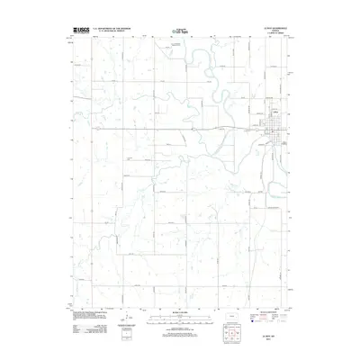
2012 Map of Le Roy
USGS Topo · Published 2012About this map
The Neosho River snakes through the landscape, defining the character of this Coffey County region. The settlement of LeRoy is positioned in the northeast corner of the map, organized by a distinct grid including streets like Grand Ave and Judkins Ave. Rural life is anchored by several burial grounds, including the Le Roy Cem, Crandell Cem, and the Lorenz Schlichter Memorial Cem to the north.
Find a feature on this map
66 named features on this map. Tap any name to fly to it.
Don’t see what you’re looking for? This feature index may not catch every label — zoom into the map to look around manually.
Map Details
Editions of this 2012 Le Roy Map
This is the sole edition of this map. No revisions or reprints were ever made.
Other maps of this area

1885 · Burlington
USGS Topo · 1:125,000

1886 · Fredonia
USGS Topo · 1:125,000

1894 · Fredonia
USGS Topo · 1:125,000

1894 · Burlington
USGS Topo · 1:125,000

1947 · Lawrence
USGS Topo · 1:250,000

1947 · Joplin
USGS Topo · 1:250,000

1949 · Joplin
USGS Topo · 1:250,000

1950 · Lawrence
USGS Topo · 1:250,000

1954 · Joplin
USGS Topo · 1:250,000

1956 · Lawrence
USGS Topo · 1:250,000