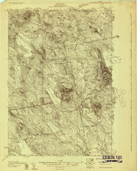
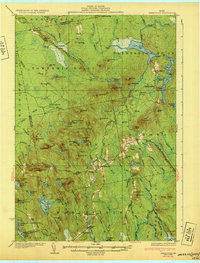
1929 Map of Lead Mountain
USGS Topo · Published 1929About this map
Lead Mountain and Humpback Mtn dominate this 1920s topography of the interior Maine wilderness along the Hancock and Washington County border. The landscape is defined by its vast water network, including the expansive Alligator Lake, Mopang Lake, and the connected system of Upper Lead Mtn Pond, Middle Lead Mtn Pond, and Lower Lead Mtn Pond. A central fire tower stands as a lonely sentinel over the surrounding townships.
Find a feature on this map
82 named features on this map. Tap any name to fly to it.
Don’t see what you’re looking for? This feature index may not catch every label — zoom into the map to look around manually.
Map Details
Editions of this 1929 Lead Mountain Map
This is the sole edition of this map. No revisions or reprints were ever made.
Other maps of this area

1902 · Cherryfield
USGS Topo · 1:62,500

1904 · Cherryfield
USGS Topo · 1:62,500
1911 · Ellsworth
USGS Topo · 1:62,500
1929 · Great Pond
USGS Topo · 1:48,000
1930 · Tunk Lake
USGS Topo · 1:48,000
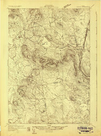
1931 · Saponac
USGS Topo · 1:48,000
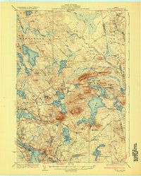
1932 · Tunk Lake
USGS Topo · 1:62,500
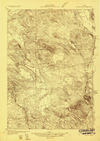
1932 · Nicatous Lake
USGS Topo · 1:48,000
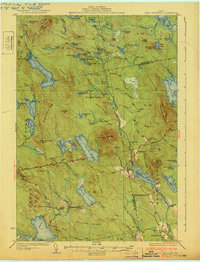
1932 · Lead Mountain
USGS Topo · 1:62,500
1932 · Great Pond
USGS Topo · 1:62,500