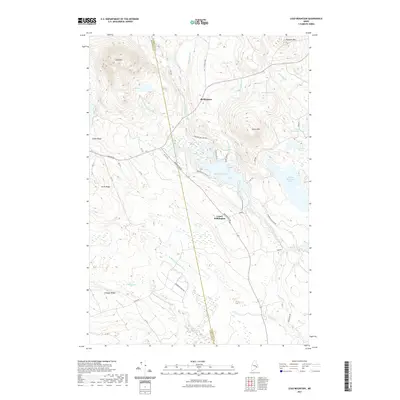
2021 Map of Lead Mountain
USGS Topo · Published 2021About this map
Beddington and Lower Beddington serve as the primary human settlements in this drainage basin, positioned along the historical route of the Airline Rd. The landscape is defined by the complex hydrology of the Narraguagus River system, including its main branch and the W Br Narraguagus River, which weave through a series of significant elevations like Lead Mtn and Spruce Mtn. The presence of several large water bodies such as Beddington Lake and Spruce Mountain Lake suggests a geography historically shaped by timber interests and seasonal recreation. Local transit is facilitated by a network of rural corridors including Beddington Rd and Blueberry Field Rd, the latter indicating the specific agricultural heritage of this part of Washington County. Significant ridgelines like Smith Ridge and Schoppe Ridge frame the valleys, creating a classic Downeast interior profile of peaks, ponds, and brooks.
Find a feature on this map
34 named features on this map. Tap any name to fly to it.
Don’t see what you’re looking for? This feature index may not catch every label — zoom into the map to look around manually.
Map Details
Editions of this 2021 Lead Mountain Map
This is the sole edition of this map. No revisions or reprints were ever made.
Other maps of this area

1902 · Cherryfield
USGS Topo · 1:62,500

1904 · Cherryfield
USGS Topo · 1:62,500

1929 · Lead Mountain
USGS Topo · 1:48,000

1930 · Tunk Lake
USGS Topo · 1:48,000

1932 · Tunk Lake
USGS Topo · 1:62,500

1932 · Lead Mountain
USGS Topo · 1:62,500

1941 · Tug Mountain
USGS Topo · 1:62,500

1942 · Cherryfield
USGS Topo · 1:62,500

1942 · Tunk Lake
USGS Topo · 1:62,500

1943 · Tug Mountain
USGS Topo · 1:62,500