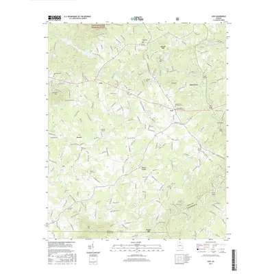
2017 Map of Leaf
USGS Topo · Published 2017About this map
The Chattahoochee National Forest spans the northern reaches of this Georgia landscape, where the Chattahoochee River carves a path past Buck Shoals and several named river islands. This 2017 survey reveals a deeply rooted rural community defined by a dense network of local cemeteries and small settlements including Leaf, Pink, and Kinseytown. The presence of Truett-McConnell Coll in the northwest and Mountain Airpark near Benefit marks the modern evolution of land use in a region historically shaped by water power and milling.
Find a feature on this map
201 named features on this map. Tap any name to fly to it.
Don’t see what you’re looking for? This feature index may not catch every label — zoom into the map to look around manually.
Map Details
Editions of this 2017 Leaf Map
This is the sole edition of this map. No revisions or reprints were ever made.
Other maps of this area

1886 · Dahlonega
USGS Topo · 1:125,000

1891 · Gainesville
USGS Topo · 1:125,000

1892 · Dahlonega
USGS Topo · 1:125,000

1896 · Dahlonega
USGS Topo · 1:125,000

1903 · Dahlonega
USGS Topo · 1:125,000

1935 · Cowrock
USGS Topo · 1:24,000

1938 · Cowrock
USGS Topo · 1:24,000
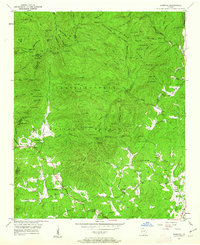
1950 · Cowrock
USGS Topo · 1:24,000

1951 · Cleveland
USGS Topo · 1:24,000
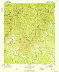
1952 · Cowrock
USGS Topo · 1:24,000