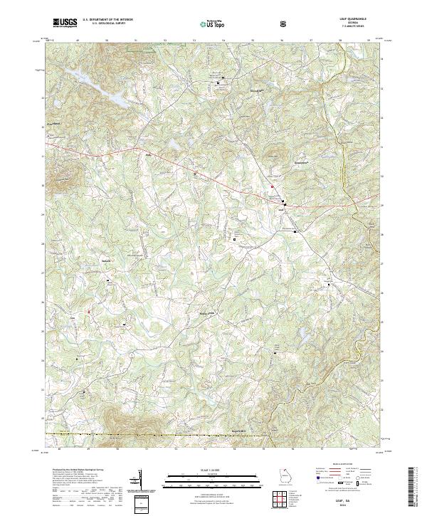
2024 Map of Leaf
USGS Topo · Published 2024About this map
Truett McConnell University anchors the western edge of this landscape, where the hills of White County transition into the Chattahoochee National Forest. The topography is defined by the winding course of the Chattahoochee River, which forms the border with Habersham County and contains notable features like Smith Island and Buck Island. This modern survey records a deep layer of community history through its numerous religious and burial sites, including the Blue Creek Baptist Church and several small family or community grounds like Zion Cem and Macedonia Cem.
Find a feature on this map
206 named features on this map. Tap any name to fly to it.
Don’t see what you’re looking for? This feature index may not catch every label — zoom into the map to look around manually.
Map Details
Editions of this 2024 Leaf Map
This is the sole edition of this map. No revisions or reprints were ever made.
Other maps of this area

1886 · Dahlonega
USGS Topo · 1:125,000

1891 · Gainesville
USGS Topo · 1:125,000

1892 · Dahlonega
USGS Topo · 1:125,000

1896 · Dahlonega
USGS Topo · 1:125,000

1903 · Dahlonega
USGS Topo · 1:125,000

1935 · Cowrock
USGS Topo · 1:24,000

1938 · Cowrock
USGS Topo · 1:24,000
1950 · Cowrock
USGS Topo · 1:24,000

1951 · Cleveland
USGS Topo · 1:24,000
1952 · Cowrock
USGS Topo · 1:24,000