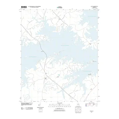
2011 Map of Leah
USGS Topo · Published 2011About this map
J. Strom Thurmond Reservoir dominates this Georgia landscape, its sprawling, irregular shoreline creating a complex network of inlets and peninsulas such as Bussey Point. The settlement of Leah and the Dunn Chapel community occupy the higher ground between the water and the southern creeks. Transportation patterns follow the ridgelines, with Legg Bridge providing a vital crossing point over the reservoir's western reaches.
Find a feature on this map
39 named features on this map. Tap any name to fly to it.
Don’t see what you’re looking for? This feature index may not catch every label — zoom into the map to look around manually.
Map Details
Editions of this 2011 Leah Map
This is the sole edition of this map. No revisions or reprints were ever made.
Other maps of this area

1892 · Mc Cormick
USGS Topo · 1:125,000

1912 · Mc Cormick
USGS Topo · 1:125,000

1920 · Clarks Hill
USGS Topo · 1:48,000

1921 · Clarks Hill
USGS Topo · 1:62,500

1921 · Appling
USGS Topo · 1:62,500

1941 · Clarks Hill
USGS Topo · 1:62,500

1942 · Clarks Hill
USGS Topo · 1:62,500

1943 · Appling
USGS Topo · 1:62,500

1953 · Athens
USGS Topo · 1:250,000

1958 · Athens
USGS Topo · 1:250,000