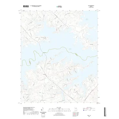
2020 Map of Leah
USGS Topo · Published 2020About this map
J. Strom Thurmond Reservoir dominates this landscape, its intricate, finger-like shoreline defining the boundary between Columbia and Lincoln counties. The settlement of Leah sits at the intersection of Washington Rd and Ridge Rd, serving as a central point for the surrounding rural community. The area's history is preserved in several family burial grounds, including Blanchard Cem near the southern border and Hardin Cem to the north.
Find a feature on this map
70 named features on this map. Tap any name to fly to it.
Don’t see what you’re looking for? This feature index may not catch every label — zoom into the map to look around manually.
Map Details
Editions of this 2020 Leah Map
This is the sole edition of this map. No revisions or reprints were ever made.
Other maps of this area

1892 · Mc Cormick
USGS Topo · 1:125,000

1912 · Mc Cormick
USGS Topo · 1:125,000

1920 · Clarks Hill
USGS Topo · 1:48,000

1921 · Clarks Hill
USGS Topo · 1:62,500

1921 · Appling
USGS Topo · 1:62,500

1941 · Clarks Hill
USGS Topo · 1:62,500

1942 · Clarks Hill
USGS Topo · 1:62,500

1943 · Appling
USGS Topo · 1:62,500

1953 · Athens
USGS Topo · 1:250,000

1958 · Athens
USGS Topo · 1:250,000