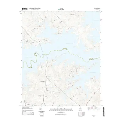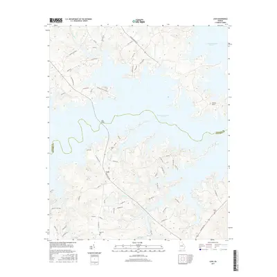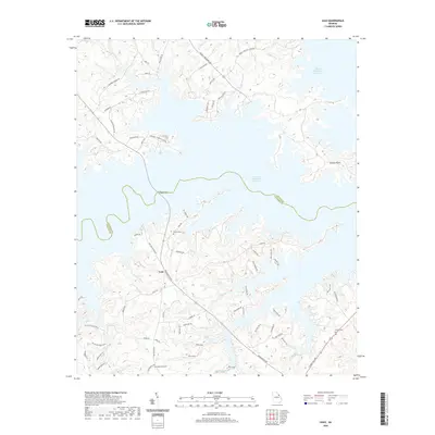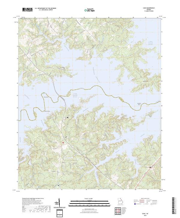
2024 Map of Leah
USGS Topo · Published 2024About this map
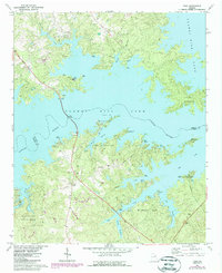
The settlement of Leah serves as a central hub in this landscape where the Little River and J. Strom Thurmond Reservoir dominate the terrain. This modern survey illustrates the complex, indented shoreline along the Lincoln and Columbia county border, where former river valleys have been transformed into deep inlets like Cherokee Creek and Keg Creek. The map documents a blend of residential developments and older rural landmarks, notably preserving the locations of historical river crossings such as Price Ferry, McCord Ferry, and Lockhart Ferry.
Find a feature on this map
79 named features on this map. Tap any name to fly to it.
Don’t see what you’re looking for? This feature index may not catch every label — zoom into the map to look around manually.
Map Details
Editions of this 2024 Leah Map
This is the sole edition of this map. No revisions or reprints were ever made.
Historical Maps of Dunn Chapel Through Time
8 maps found