Loading...
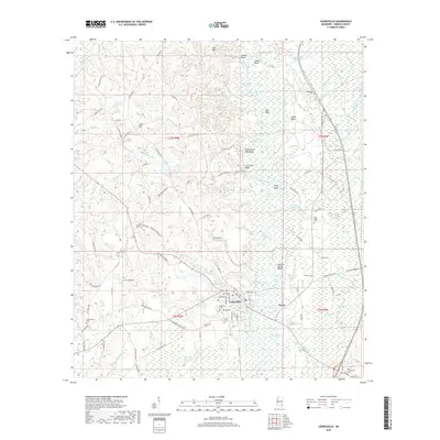
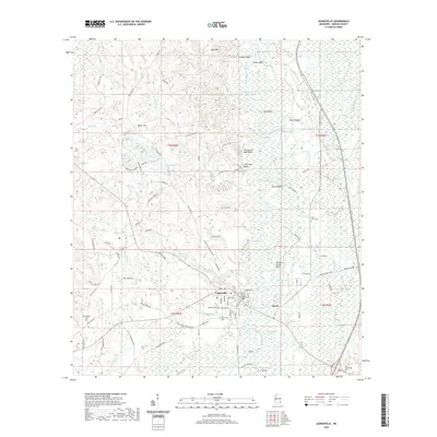
Loading map...2024 Map of Leakesville
USGS Topo · Published 2024About this map
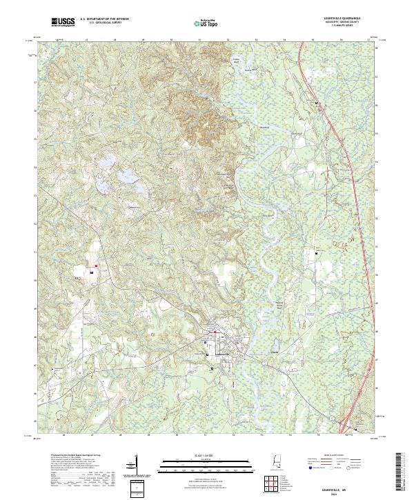
The Chickasawhay River meanders through the heart of Greene County, defining a landscape of high bluffs and oxbow lakes such as Saluda Lake and Oscar-Dead River. As the county seat, Leakesville serves as the primary civic hub, anchored by the Greene County Courthouse. The town is surrounded by a network of rural roads named for local families, including Dean Turner Rd and Walter O'Neal Rd, which connect the town to outlying areas like Dueitt.
Find a feature on this map
122 named features on this map. Tap any name to fly to it.
Don’t see what you’re looking for? This feature index may not catch every label — zoom into the map to look around manually.
Map Details
Date Portrayed2024
Date Published2024
PublisherU.S. Geological Survey
Map TypeTopographic
Scale1:24,000
Physical Dimensions24 x 29 inches
Editions of this 2024 Leakesville Map
This is the sole edition of this map. No revisions or reprints were ever made.
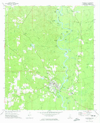
Historical Maps of Leakesville Through Time
6 maps found
Featured Locations
Source Details
SourceU.S. Geological Survey
CopyrightPublic Domain