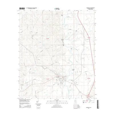
2015 Map of Leakesville
USGS Topo · Published 2015About this map
Leakesville serves as the focal point of this Greene County landscape, situated along the western banks of the Chickasawhay River. The river's meandering course is marked by distinctive topographical features such as Cooker Bluff, Gants Bluff, and the sharp turn at Ferry Bend, indicating a historic reliance on the waterway for navigation and local transport. To the north, the Jane Hills overlook the river valley, while small settlements like Silver Hill and Dueitt are dispersed among the area's timbered terrain and creek drainages. Genealogists will find a wealth of local burial sites, including Magnolia Cem in the heart of town and outlying grounds like East Salem Cem and Sweetwater Cem. The landscape is further defined by its varied hydrography, with oxbows and named ponds like Saluda Lake and Long Pond illustrating the dynamic history of the river corridor.
Find a feature on this map
122 named features on this map. Tap any name to fly to it.
Don’t see what you’re looking for? This feature index may not catch every label — zoom into the map to look around manually.
Map Details
Editions of this 2015 Leakesville Map
This is the sole edition of this map. No revisions or reprints were ever made.
Other maps of this area

1942 · Deer Park
USGS Topo · 1:62,500

1943 · Deer Park
USGS Topo · 1:62,500

1953 · Hattiesburg
USGS Topo · 1:250,000

1958 · Hattiesburg
USGS Topo · 1:250,000

1964 · Clark
USGS Topo · 1:24,000

1964 · Avera
USGS Topo · 1:24,000

1972 · Leakesville
USGS Topo · 1:24,000
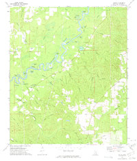
1972 · Vernal
USGS Topo · 1:24,000

1973 · Jonathan
USGS Topo · 1:24,000
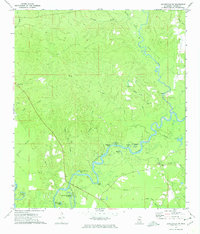
1973 · Leakesville SW
USGS Topo · 1:24,000