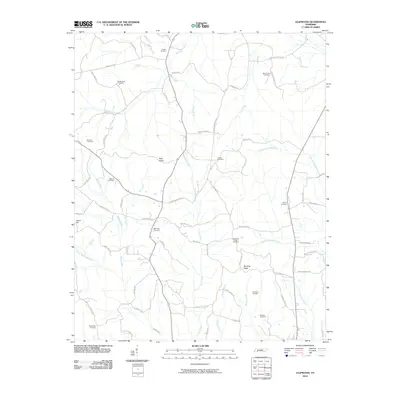
2010 Map of Leapwood
USGS Topo · Published 2010About this map
Clover Hill and the surrounding Tennessee landscape are defined by a complex network of creeks and family-named roads that suggest generations of rural settlement. The terrain transitions from the elevations of Rocky Knob and Bald Knob in the north toward the meandering paths of Snake Creek and Lick Creek. These waterways, along with North Fork Mud Creek and South Fork Mud Creek, create a geography shaped by small drainage basins and ridge lines like Winding Ridge. Local history is deeply embedded in the land, as evidenced by a high density of burial grounds, including Mars Hill Cemetery, Ebenezer Cemetery, and Wolverton Cemetery, often located near primary intersections or along historic routes like Hardin Graveyard Rd. The map documents a community where geography and genealogy are closely linked, preserving the names of early settlers through landmarks such as Baucum Cemetery and O'Neil Cemetery.
Find a feature on this map
69 named features on this map. Tap any name to fly to it.
Don’t see what you’re looking for? This feature index may not catch every label — zoom into the map to look around manually.
Map Details
Editions of this 2010 Leapwood Map
This is the sole edition of this map. No revisions or reprints were ever made.
Other maps of this area

1936 · Leapwood
USGS Topo · 1:24,000

1936 · Sardis
USGS Topo · 1:24,000

1936 · Milledgeville
USGS Topo · 1:24,000

1936 · Enville
USGS Topo · 1:24,000

1936 · Pittsburg Landing
USGS Topo · 1:24,000

1936 · Purdy
USGS Topo · 1:24,000

1936 · Stantonville
USGS Topo · 1:24,000

1936 · Mt. Peter
USGS Topo · 1:24,000

1949 · Pittsburg Landing
USGS Topo · 1:24,000

1949 · Leapwood
USGS Topo · 1:24,000