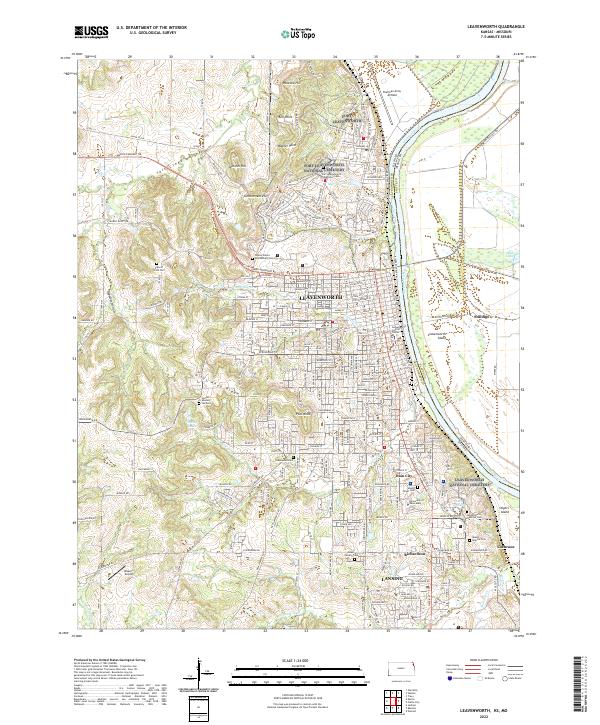
2022 Map of Leavenworth
USGS Topo · Published 2022About this map
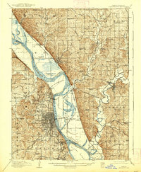
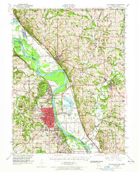
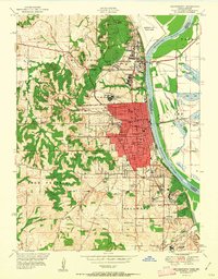
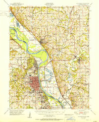
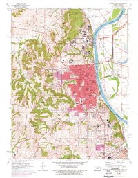
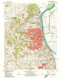
The Missouri River defines the eastern boundary of this corridor, where the city of Leavenworth and the community of Lansing anchor a landscape shaped by military, institutional, and early pioneer history. Significant markers of the region's heritage are found in the numerous burial grounds, including the Fort Leavenworth National Cem and the United States Penitentiary Cem. The map traces the historic path of the Santa Fe Trl as it cuts across the northern reaches near Sentinel Hill and Salt Creek.
Find a feature on this map
64 named features on this map. Tap any name to fly to it.
Don’t see what you’re looking for? This feature index may not catch every label — zoom into the map to look around manually.
Map Details
Editions of this 2022 Leavenworth Map
This is the sole edition of this map. No revisions or reprints were ever made.
Historical Maps of Bain City Through Time
7 maps found