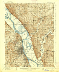
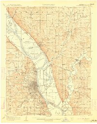
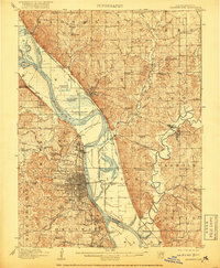
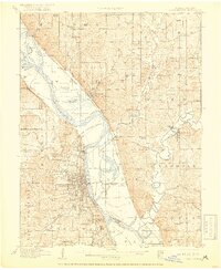
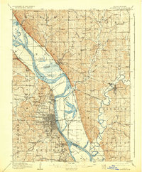
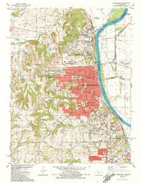
1910 Map of Leavenworth
USGS Topo · Published 1938About this map
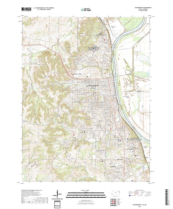
Leavenworth and Platte City anchor this early 20th-century survey of the Missouri River valley, where the border between Kansas and Missouri is defined by the winding Missouri River. The landscape is dominated by significant institutional and military holdings, most notably the Military Reservation and U S Penitentiary Reserve north of the city, and the Kansas State Penitentiary near Lansing. The complex hydrology of the floodplain is evident in the numerous sloughs and islands, including Kickapoo Island and Stigers Island, while the surrounding uplands are dotted with dozens of rural schools like Burrus School and Fancy Bottoms School. A dense web of rail infrastructure, including the Chicago Burlington and Quincy Railroad and the Kansas City and St Joseph Electric Railroad, illustrates the region's importance as a transportation hub during this era of peak rail connectivity.
Find a feature on this map
105 named features on this map. Tap any name to fly to it.
Don’t see what you’re looking for? This feature index may not catch every label — zoom into the map to look around manually.
Map Details
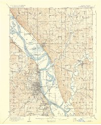
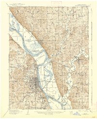
Editions of this 1910 Leavenworth Map
8 editions found

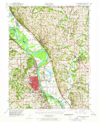
Historical Maps of Kansas City Through Time
11 maps found
1910 Leavenworth
Leavenworth County, KS
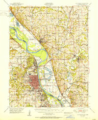
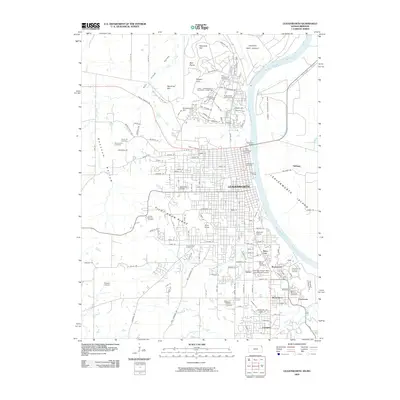
1948 Leavenworth
Leavenworth County, KS
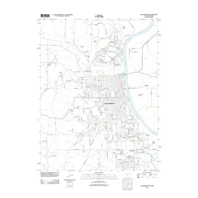
1951 Leavenworth
Leavenworth County, KS
1951 Leavenworth
Leavenworth County, KS
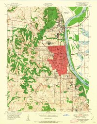
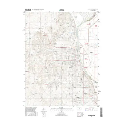
1961 Leavenworth
Leavenworth County, KS
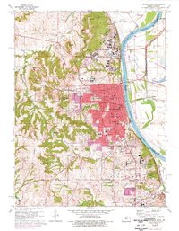
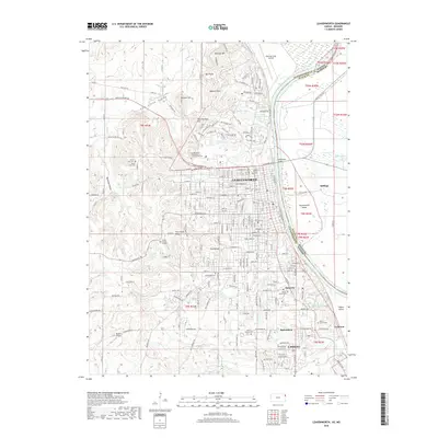
1984 Leavenworth
Leavenworth County, KS
2009 Leavenworth
Leavenworth County, KS
2012 Leavenworth
Leavenworth County, KS
2015 Leavenworth
Leavenworth County, KS
2018 Leavenworth
Leavenworth County, KS
2022 Leavenworth
Leavenworth County, KS