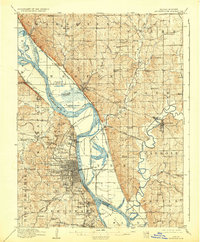
1910 Map of Leavenworth
USGS Topo · Published 1932About this map
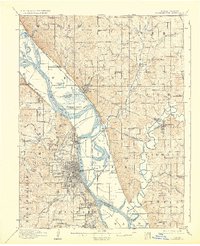
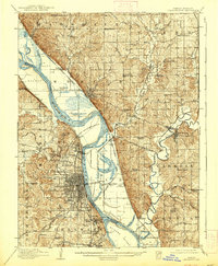
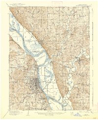
Leavenworth and Platte City anchor this early 20th-century landscape where the Missouri River snakes between Kansas and Missouri, dividing a region defined by military and institutional presence. The vast Fort Leavenworth Military Reservation dominates the western riverbank, complemented by the U S Penitentiary Reserve and the Kansas State Penitentiary further south near Lansing. These large federal and state holdings established a unique land-use pattern that preserved significant open space while the surrounding prairie was subdivided into a dense network of townships like Kickapoo and Delaware.
Find a feature on this map
118 named features on this map. Tap any name to fly to it.
Don’t see what you’re looking for? This feature index may not catch every label — zoom into the map to look around manually.
Map Details
Editions of this 1910 Leavenworth Map
8 editions found
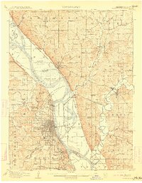
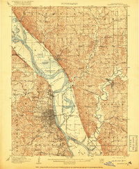
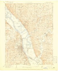
Other maps of this area

1885 · Atchison
USGS Topo · 1:125,000

1886 · Oskaloosa
USGS Topo · 1:125,000

1888 · Oskaloosa
USGS Topo · 1:125,000

1888 · Atchison
USGS Topo · 1:125,000

1890 · Kansas City
USGS Topo · 1:125,000

1893 · Atchison
USGS Topo · 1:125,000

1894 · Kansas City
USGS Topo · 1:125,000

1894 · Oskaloosa
USGS Topo · 1:125,000

1910 · Leavenworth
USGS Topo · 1:62,500

1914 · Smithville
USGS Topo · 1:62,500