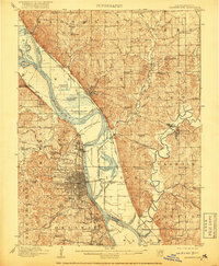
1910 Map of Leavenworth
USGS Topo · Published 1920About this map
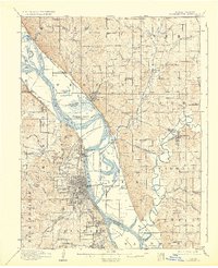
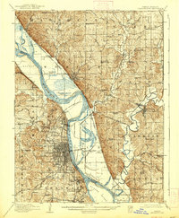
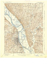
Fort Leavenworth Military Reservation and the bustling river town of Leavenworth anchor this detailed survey of the Missouri-Kansas borderlands. The landscape is defined by the winding Missouri River and its intricate network of islands like Kickapoo Island and Stigers Island. This era captures the height of the region's river-and-rail economy, with the Union Pacific RR and Chicago Burlington and Quincy RR threading through major nodes like Weston and Platte City. Beyond the urban centers, the map reveals a dense rural fabric of early education and faith, featuring numerous country institutions such as the Fancy Bottoms School, Woodland School, and Salem Church. Significant government landholdings are prominent, including the U S Penitentiary Reserve and the Soldiers Home, reflecting the long-standing military and institutional character of the Kansas side of the river.
Find a feature on this map
118 named features on this map. Tap any name to fly to it.
Don’t see what you’re looking for? This feature index may not catch every label — zoom into the map to look around manually.
Map Details
Editions of this 1910 Leavenworth Map
8 editions found
Other maps of this area

1885 · Atchison
USGS Topo · 1:125,000

1886 · Oskaloosa
USGS Topo · 1:125,000

1888 · Oskaloosa
USGS Topo · 1:125,000

1888 · Atchison
USGS Topo · 1:125,000

1890 · Kansas City
USGS Topo · 1:125,000

1893 · Atchison
USGS Topo · 1:125,000

1894 · Kansas City
USGS Topo · 1:125,000

1894 · Oskaloosa
USGS Topo · 1:125,000

1910 · Leavenworth
USGS Topo · 1:62,500

1914 · Smithville
USGS Topo · 1:62,500